
Day 151 Wed Nov 22nd
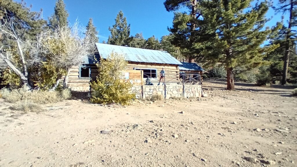
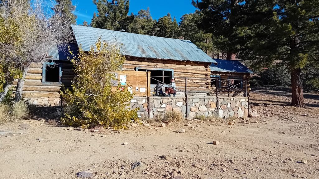
Coon Creek Cabin – Unmarked ridge Tent site after Mission creek
2408.7 – 2430.8
Approx. 1722 ft ascent 6191 ft descent
22.1 Miles (Ridge walk saved approx 5-6 miles)
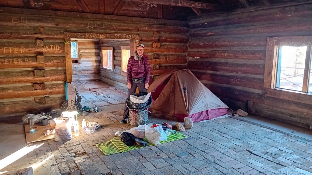
We woke up to the sun pouring through the windows of the cabin. It was nice to be able to spread our gear out on the concrete floor, whilst we packed away.
Sarah and I woke up with banging headaches today. We’re not sure if it’s something to do with the stuffy nature of the cabin or our limited water consumption.
Big Tuna and Myles kept us entertained by singing and chatting whilst we got ready.
They left the cabin before us, thankful for the knowledge and intel we had shared about the next section.
They were at time crunch and aim to finish the trail the next 8 days. Apparently averaging between 30 and 35 miles a day, which was a little too spicy for us to keep up.
We have to just over 1.3 miles before we start the unmarked ridge walk.
All we have to follow is a hand drawn squiggle on a Far Out topo screen shot.
That was kindly provided by our good friend Smiles.
We can try and cross reference this with the GPS on Far Out.
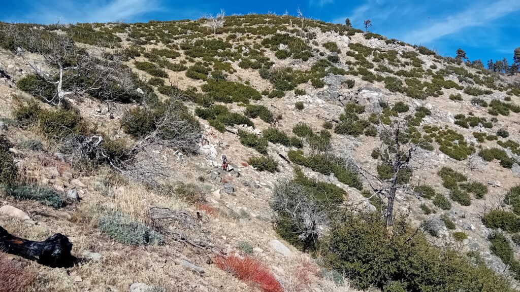
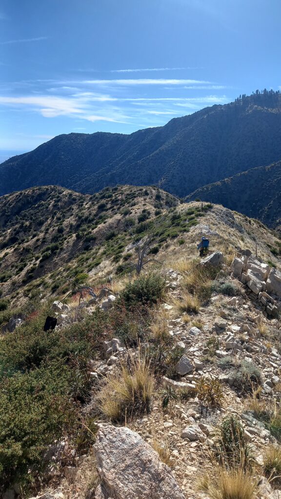
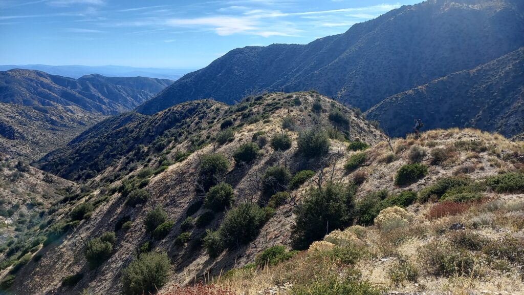
We made the mistake trying to follow the squiggle too literally. We really should have walked along the spine of the ridge opposed to its steep sides.
It was pretty hard going for Sarah and she did well keeping up after a shaky start.
It wasn’t long before we managed to get back onto the flatter spine after a steep traverse.
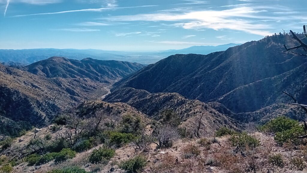
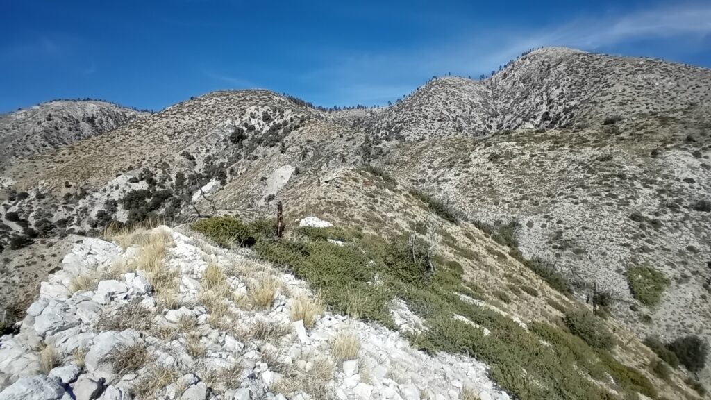
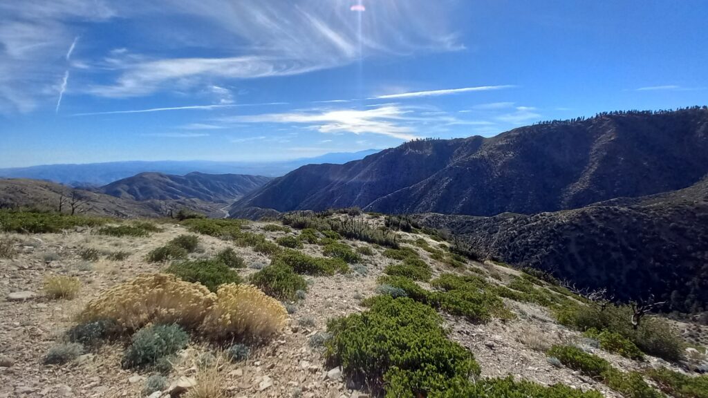
From here it was pretty straightforward and we could see the route we needed to follow.
Not long after that the ridge split into two spurs and we followed the right hand one as per Smiles advice.
I found it really cool cross referencing the topo map against the landscape in front of me. Identifying the different spurs and features.
Although we did have to do some bushwacking it wasn’t as bad as expected.
At worse we were only walking through thigh high Yerba Santa, Sage, Buckthorn and other shrubby plants.
In some places it was also possible to follow other hikers’ footprints.
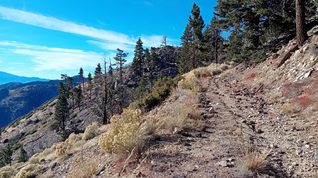
It wasn’t long before we were back on the PCT as it led us down to the start of Mission Creek.
From here there was no defined trial, which offers more of a challenge.
This is something the CDT (Continental Divide Trail) is famous for, which is very appealing to me.
Where breaking a fresh trail feels like you’re stepping where no one’s ever stepped before and you can choose your own path and destiny.
We arrived at the start of Mission Creek around 12:00 and stopped for a quick bite to eat.
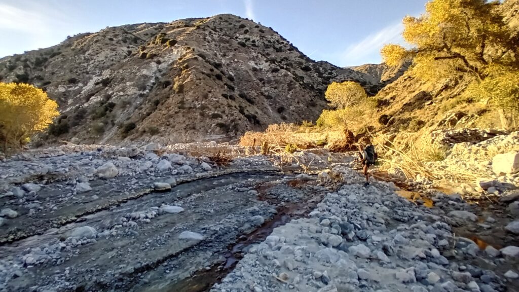
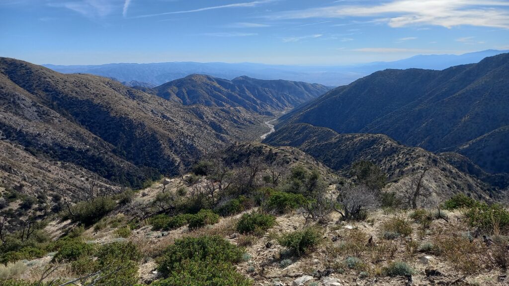
The PCT had been rooted along the side of the canyon looking down into Mission Creek. Although as a result of the erosion the whole of the trail had collapsed into the canyon.
After reading the comments and Far Out we decided the safest route was just to follow the creek as far as possible.
Rather than trying to follow the trail where you would suddenly find it had collapsed and you would have to backtrack along the high banks.
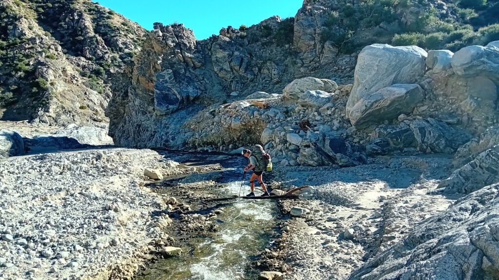
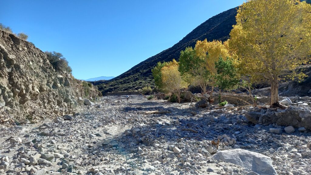
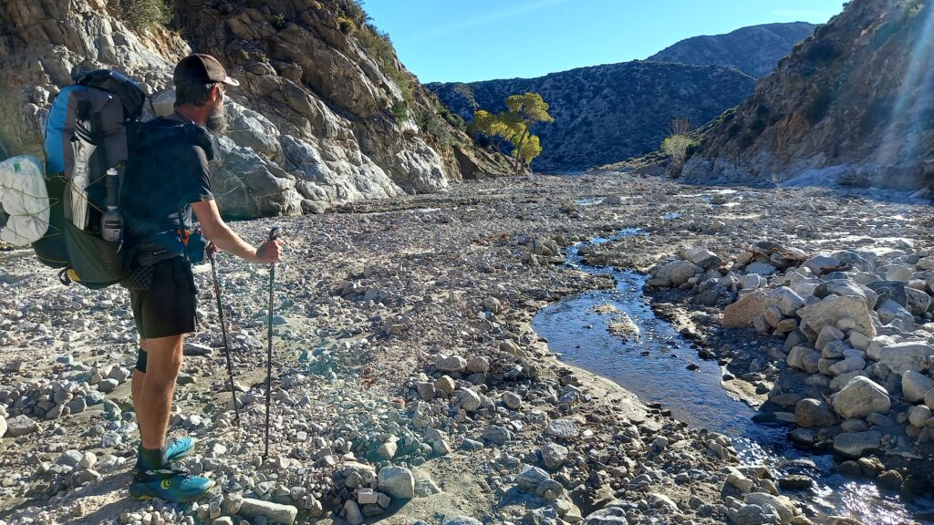
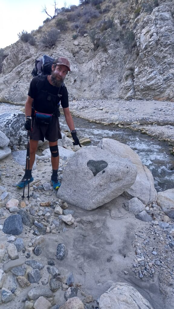
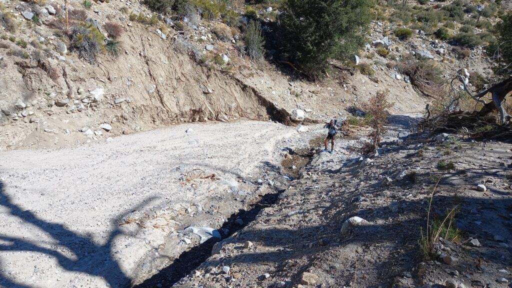
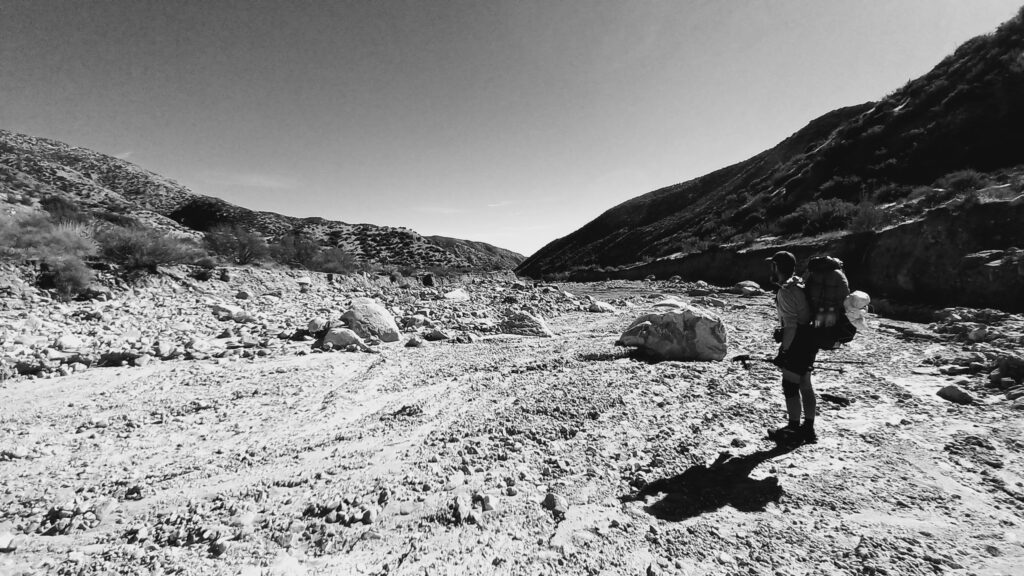
As we entered the creek bed it was interesting to see how the water would suddenly stop and almost dry up completely. Only to pick back up again further down the creek.
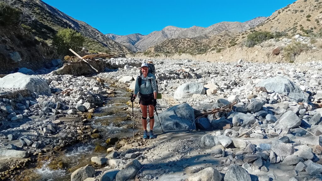
As we progressed further down Mission Creek the river grew stronger as it meandered through the canyon.
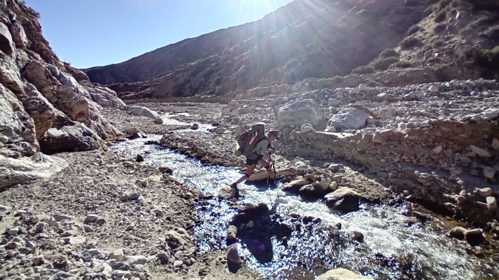
It would snake left and right until it hit the sides of canyon and there was nowhere else for it to go. It would be redirected back across the basin in the opposite direction until the same thing happen again. Just like a pinball.
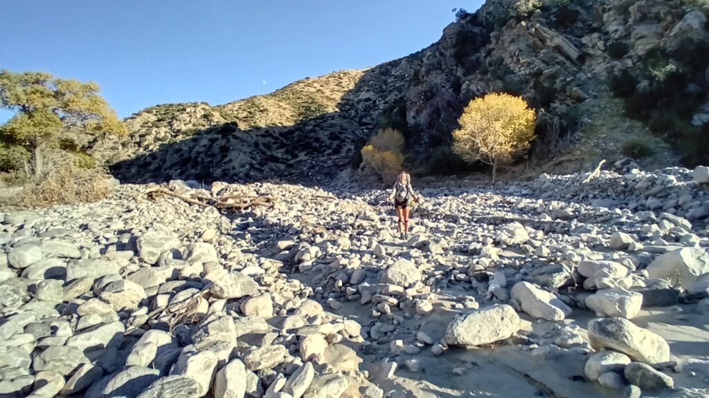
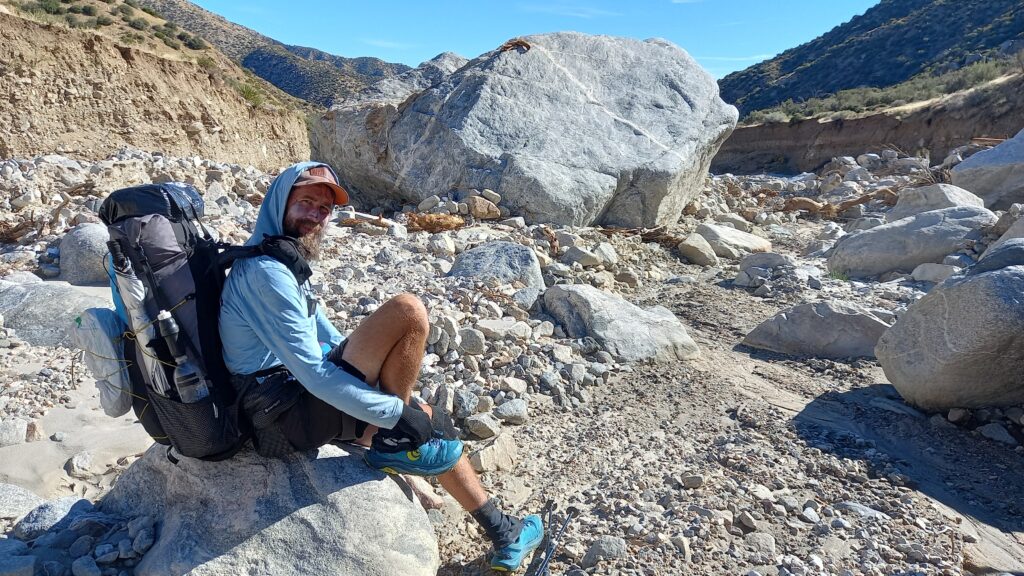
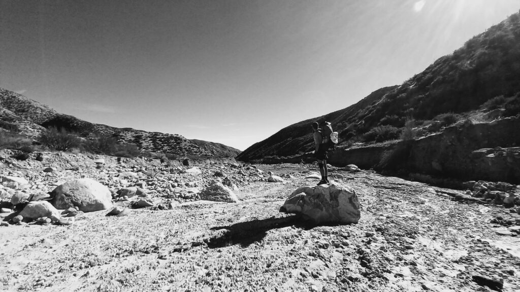
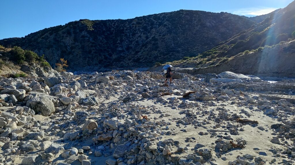
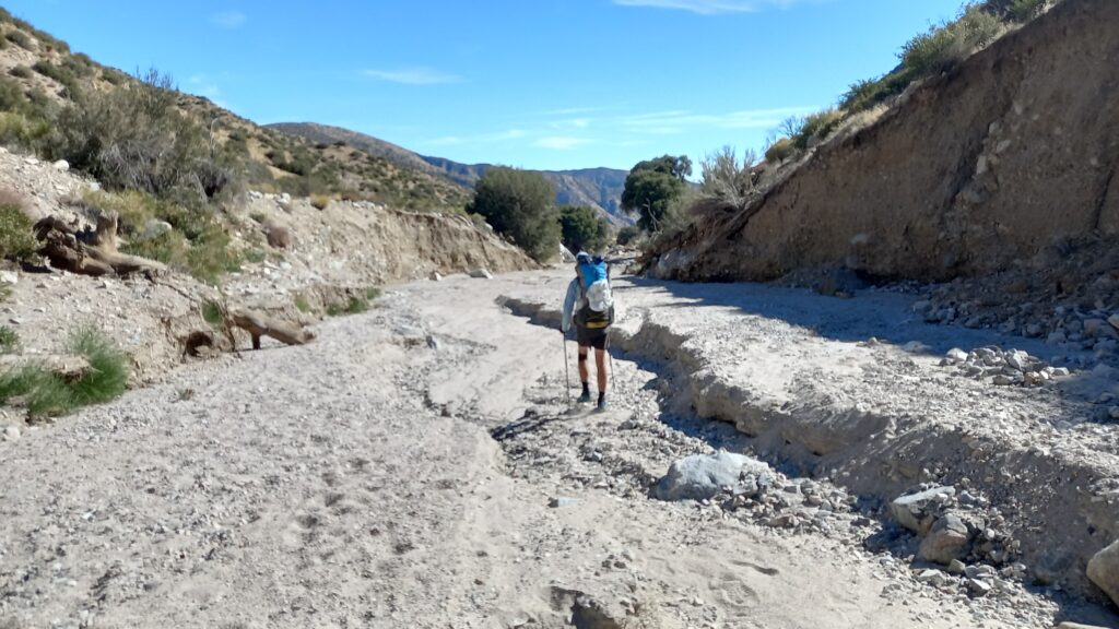
It required a lot of concentration walking along the creek rock hopping through boulder fields full of sand, sediment and driftwood.
The most forgiving approach was to try and walk across the sandy sections, which were easier on the knees and feet. Although this was often short lived and you were forced back onto the boulders or forced to jump back across the creek.
We have approx 9 miles of this before we’re back on solid PCT.
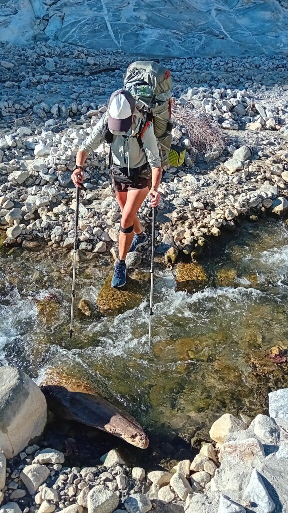
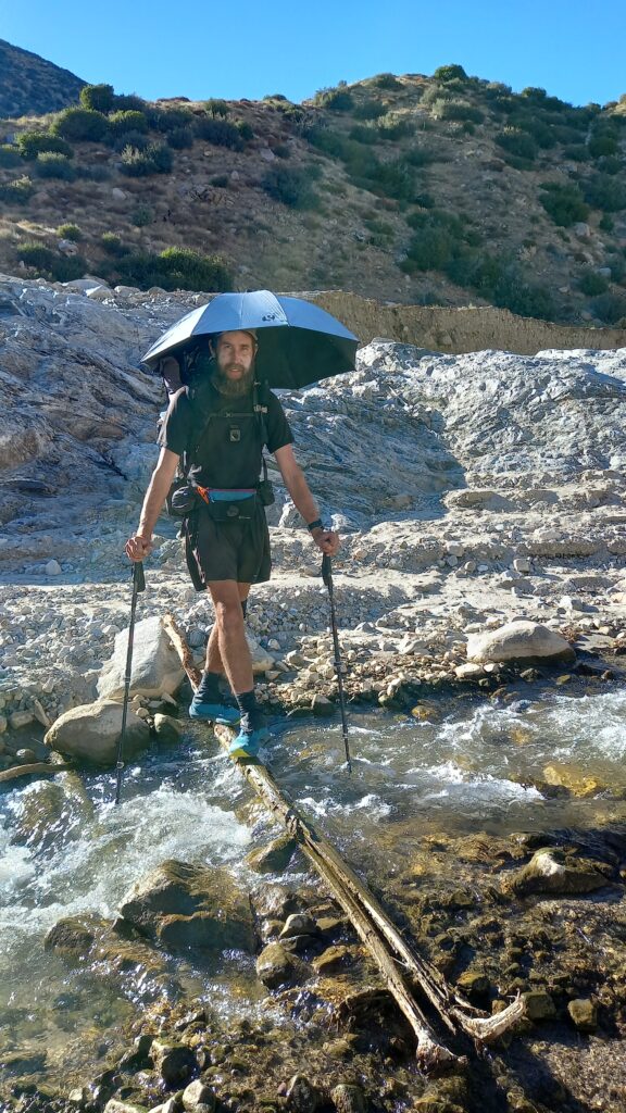
Initially we made a game of it and it was fun trying to work out the best route across the creek, without getting your tootsies wet.
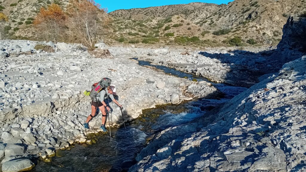
Although the fun soon wears thin after about 50 crossings and when it becomes a little more sketchy and dangerous.
In some instances we have to be creative and almost pole vault across the creek. Where it was too wide and you couldn’t simply rock hop.
We found it best to stay close to the creek walking amongst the sand sediment and boulders. If you strayed too far away from the water the banks would grow in height.
There would then be the danger that we would get cliffed out and would have to backtrack v’s dropping down the high steep sided banks.
So far we’ve been able to keep our feet pretty much dry, although earlier in the season surely this would have been impossible.
We wondered whether the Nobos would have simply skipped this section entirely. Coming through here in peak snowmount would have been super sketchy.
You could see just how high the water level was at its highest point.
It isn’t long before both of us get wet feet. Although with only 4 miles left of Mission Creek I don’t think that’s too bad. Especially as we must have crossed over the creek more than 50 times.
Both of us were exhausted and were starting to make silly mistakes.
By the end of the afternoon both of us had fallen or slipped over multiple times.
Sarah fell hard on her knee and also bumped her head as she attempted 1 crossing.
I tried to catch her, but the soft bank collapsed and she tumbled forward.
I even stupidly managed to stab Sarah’s foot with my trekking pole. Luckily it wasn’t as bad as it could have been as the sharp tip was missing.
Smiles had told us that at mile 227.3 we could leave the creek behind and climb back out onto the PCT.
This arrived just in the nick of time around 17:00 as it was starting to get dark.
Just as we thought we were home dry the trail dropped again back into the creek bed.
In the dark it was even more difficult to navigate our way through.
It took us several attempts to find the trail and we had to cross the creek 1 more time.
Then finally we started to climb away from the riverbed and the sound of the water.
Sarah was more than relieved to leave this all behind.
After approx 1 mile of steep up we found a flat sheltered campspot right on top of the ridge. We figured it’d been a tough day in the office and this would be as good as any spot to call it a night.
On tonight’s menu was rice and beans and
pulled pork. Which seemed to taste even better than normal. Maybe due to the mental and physical demands of the day.
Mission Creek was mission accomplished.
Next up San Jancito…


Leave a Reply
You must be logged in to post a comment.