
Total mileage 423.6
So here we go again.
DAY 30
White Pass – Tensite just before Goat Rocks.
14.5 Miles.
We started out late from Packwood + managed to get a hitch from a guy in a truck, who went by the name Brent.
Due to the amount of food Fred had consumed in town I have been joking that he should be called Sir eats alot.
As per usual the trail picks you up and slams you down at every stop + the hike out of white pass was long and steep.
Fred was not feeling great and having issues with his heart rate hitting 140.
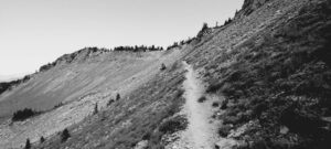
As we climbed we traversed the sides of a Ridge, leading up to a pass which provides a pathway to the next series of mountains. The Goat Rocks wilderness. This is one of the highlights of the whole trail and it is fair to say that this place does indeed rock!
As I waited for Sarah and Val to catch me up, Swifts flew overhead like jet planes so close to me that I could hear the wind whistling through there delicate wings.
As we crossed the pass the temperature dropped. We could see the mountains ahead still had snow and we were to be in store for some of the coldest conditions so far.
Anton and Val had decided to push + we had all hatched a plan to try and reach Trout lake by the 28th as there were rumours of a music festival.
Also later that day we parted company with Fred as Sarah and I had decided we wanted to push on. This proved to be a bad move.
Because of the high snow year conditions in the southern part of the trail, most north bounders (nobos) had skipped this section and we now hiking north in the same area as us. The trail now felt a little crowded as we have had it pretty much to ourselves for the last month.
As we trudged on we found the tentsites were occupied + with increasingly heavy legs we had no option but to just push on. Our head torches lit the trail and at around 10pm we found a site that only had 2 other tents + we managed to quietly set up our home for the night. Both knackered and cold. We were in store for a very cold night.
We had also read in Far Out that other hikers had experienced issues with an over friendly fox following them down the trail, but alas I think he had decided to take a night off tonight.
Considering we had started out so late today we were both happy to have covered 14.5 miles, with the plan that we would summit Goat Rocks early the next day.



Day 31.
Cispus Ridge Stealth tentsite.
8.7 miles
Last night was so cold + I didn’t mange to get much sleep. Sarah is using my old mummy sleeping bag and I have an ultra light quilt. My quilt clips to my sleeping pad
+ doesn’t fully wrap round you like a conventionally sleeping bag. I think I am still figuring things out, but last night the wind seemed to pass under the tent and would hit me straight in the kidneys. I ended up sleeping in all my clothes, including puffy jacket and waterproof trousers.
That night I had also tried to charge my phone, but for one reason it had turned off and was as flat as a pancake. Maybe due to the cold? Either way we both woke up around 9:30 (instead of 5am). Needless to say I was in a bad mood. Poor Sarah.
The best laid plans n all.
It’s a tricky balance trying to push to get the miles in and also hit an early start. Looking back we should have stopped it Fred, but lessons learnt.
As we packed up and hiked towards the Goat Rocks wonderland crickets filled the air with electricity as they rubbed there wings together.
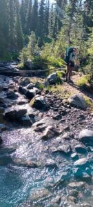
Mayflies also danced up and down over the crystal clear streams that flowed, full from snow melt from the mountains above.
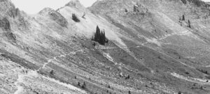
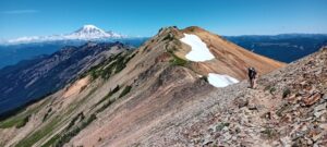
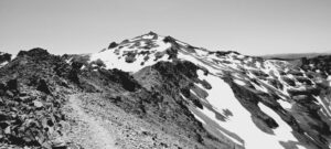
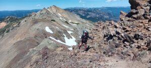
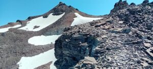
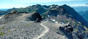
As we reached Goat Rocks we both realised what all the fuss was about. It was simply spectacular!
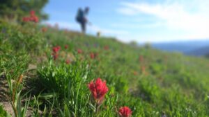
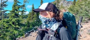
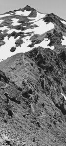
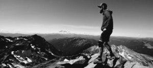
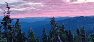
As you looked back we saw Mt Rainer in all its glory and a series of ridgelines that would put any other view to shame. Hopefully the pics help convey some of this natural beauty.
Needless to say that the miles covered that day were minimal as every 2 minutes we would both want to stop to try and capture the views by taking photos.
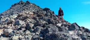
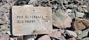
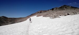
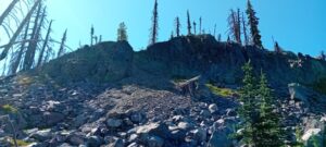
At the top of Goat Rocks is an alternate route up to Old Snowie. The official PCT was covered in snow and due to the steep gradient and potential high consequence we opted for the alternate.
We dropped our packs for the last stretch and after scrambling to the top hand over hand, we were rewarded with some of the most epic 360 blue bird sky views we had both every seen. From here we could also see the other larger mountains – Adams and St Helens as well as the epic Rainer.
I had asked Sarah to sit on large boulder at the top to take a snap and later found out that she thought after 13 years I was gonna make an honest woman out of her.
I said I would keep her guessing for now.
Earlier that day we had met some nobos that had said it would have been a hard day to try and cover 20 miles. They weren’t kidding!
Again we found it hard to find a tensite + it appears that we are now in stiff competition with these pesky nobos.
After passing a series of waterfalls we had one final pass to climb.
It had said in Far Out that there were possible camping spots just off trail at the top of the pass, as it was off trail we hoped that others may have passed it by.
Sarah waited I went up to see if I could find us a spot for the night. Luckily there was only 1 other tent, so I gestured back to Sarah to come up and join me.
After last night we were both wary of another exposed night + we managed to find a spot that as well sheltered. In fact there were even rocks that some other hikers had positioned to act as some form of wind break.
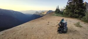
We settled in for the night. Sarah whipping up a hearty meal of rice n beans with pulled pork. We both sat on the ground looking out over the sunset and valleys beneath sharing this much needed meal. This was without doubt the best campsite so far. Although it did seem a little strange not pitching with the rest of the crew.












DAY 32.
Ciispus Ridge – High camp trail junction
28.4 miles
Due to the low mileage day over Goat Rocks we broke camp at around 6:30.
We set a blistering pace all day with the aim to get a decent chunk of miles in before the next break.
Reports had said that the mosquitos in this section were a nightmare, but despite wearing bug mesh pants for most of the day we hardly bothered. Mosquitos are most active during the 1st few weeks after snow melt and we can only imagine that we had somehow luckily missed the peak season. With Fred’s words ringing in my ears about this year somehow being the perfect year for a sobo hike I am beginning to think he might be right.
By around 10:30 we had already done 7 miles. As we ate, Grey Jay’s circled in search for a snack. These birds have an uncanny way of knowing when we are eating and only seem to appear during these times.
By lunch we had done 14 miles and by 7pm 21 miles.
The trail was becoming increasingly sandy and as we hiked we disturbed a large animal in the brush beside the trail. It sounded like a hoofed beast- maybe an Elk or Moose.
We pulled in at Lava Springs and with stunning views of Mount Adams above I rustled up some noodles and chicken as Sarah soaked her feet in the ice cold spring water.
As the names suggests Lava Springs was in an old lava field. With large volcanic rock deposits all around us that presumably that had been spewed out by the mountain above.
We were also joined by an English couple heading north – Josh and Hannah.
After eating we pushed on with the aim to bag a few extra miles before bed. Eating earlier also means that when we do find a tentsite for the night it is much simpler.
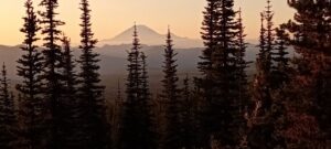
This last push was not easy with one final bit of ascent at the end of the day, but despite having tired legs and sore achillis our hearts were full with stunning sunset views of Mount Rainer.
As we hiked up switch backs around Mount Adams we disturbed small birds that were bedding down for the night.
When we finally reached a meadow, which was where we had planned to stop for the night, we found it to be occupied and the air was damp.
Sarah agreed that we should push on an extra mile. As we passed the last meadow a couple of section hikers stopped us and showed a video of a Coyote or Wolf that they had just recorded. We must have just missed it by minutes.
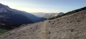
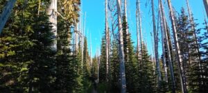
Finally we reached High Camp Trail junction, our destination for the night. This was a large sandy area right benath Adams. The temperature was dropping and it was like the mountain was breathing its icey breath down on us.
As we pitched the tent with numb hands under the moonlit sky we heard rocks falling from the mountain above.



Day 33
High Camp Trail Junction – Trout Lake.
14.5 miles.
Last night was freezing. Literally freezing. Luckily we had removed our water filters from the plastic water bottles as there was ice floating in the water contained within.
Sarahs sleeping bag and our tent also had ice that had formed on it and getting out of a warm sleeping bag took some motivation.
We had miles to cover as there were shuttles running from the trail to Trout Lake at 9, 12:30 or 4:30.
We left camp at 06:30 and with only a small bit of up to cover most of the day was flat or downhill. This made for a some seriously fast hiking.
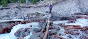
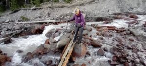
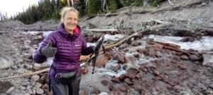
Around 07:30 we hit Adams Creek. This was an unexpectedly sketchy river crossing with snow melt running from Mount Adams. Even at this time of day the river was running at a serious rate + as we have found before you are advised to cross early in the day.
I made it across a series of fallen logs without issue, but Sarah was a little more nervous. Over the mighty sound of the river I could hear her knees knocking together. So I went back across and carried her back pack to make things easier for her. After a bit of coaching and a few nervous expressions she made it across and we were back in business.
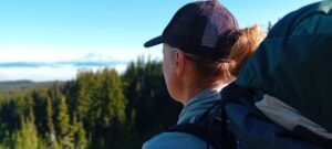
As we continued we were rewarded by a beautiful sunrise in front of Mount Rainer. Clouds cloaked the surrounding mountains in what’s called a cloud inversion, with only Rainer and the taller mountains poking there noses through the clouds below.
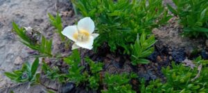
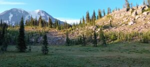
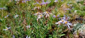
On the descent we walked through exposed burn zones and beautiful meadows full of brightly coloured alpine flowers. It was a sight for sore eyes!
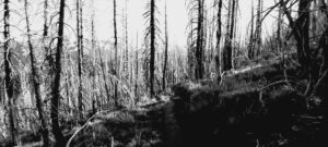
Forest burns are a natural phenomenon and it is always surprising at just how much life seems to spring back. With the bleached skelton like burnt trees contrasting against the lush grasses and brightly coloured flowers.
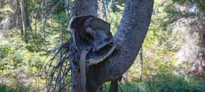
As we hiked through the spindley white-bleached trees, they seemed to want to reach out and grab us. There crooked bent fingers catching against our backpacks, somehow not wanting you to ever leave. Don’t they realise we have a shuttle to catch!
With me taking the lead the last part of the hike down the mountain was more like a race against time. Every 15 minutes I would look at Far Out and check our progress as we neared the finish line.
Sarah also picked up the pace and came storming claiming she was “Cheetarah ” a character from Thunder Cats.
We made it by the skin of our teeth and at 12:25 we left the clutches of the forest and reached the pick up point.
Minutes later a truck pulled up and just like that we were sitting in the back of the truck with the wind blowing in our hair, both smiling from ear to ear.
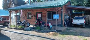
We had passed through Trout lake and the section leading up to it last year, so it was nice to see some of the familiar landmarks as we entered the small mountain town.
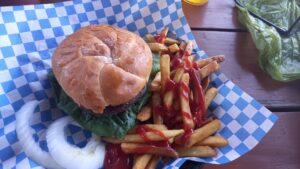
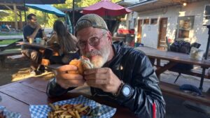
After being dropped off at the General Store to grab a much needed soda we were greeted by a very confused Fred, Val and Anton. Asking how the hell did you guys get here first + they had still thought that we were at least a day behind. I told Anton never to under estimate Sarah, especially when a town stop and a pint + burger are on offer.
Pleased to be all back together we all headed off to the camp ground to pitch for the night.
There was live music playing in town. Although after doing the usual chores, (washing clothes and sorting food resupply) we finished the night sitting round the tents enjoying a few beers and some tortilla chips and bean dip.












Leave a Reply
You must be logged in to post a comment.