
Day 107 Mon Oct 9th
West Fork Bear creek – Tent site just b4 South Fork San Joaquin river crossing
1785.8 – 1803.1
Approx. 2700 ft ascent 3501 ft descent
17.3 Miles
Despite waking up at 06:00 we seemed to be more efficient in camp today and we left by 07:45. We’ve realised the main time penalty comes with things like eating breakfast as well as the call of nature.
A lot of other hikers just get up and go, but end up having to do these morning routines just later in the day, so it all balances out.
As we packed up a day hiker walked past saying he was getting off the mountain because he was feeling unwell + spent last night coughing. We wondered whether it was a sign of altitude sickness?
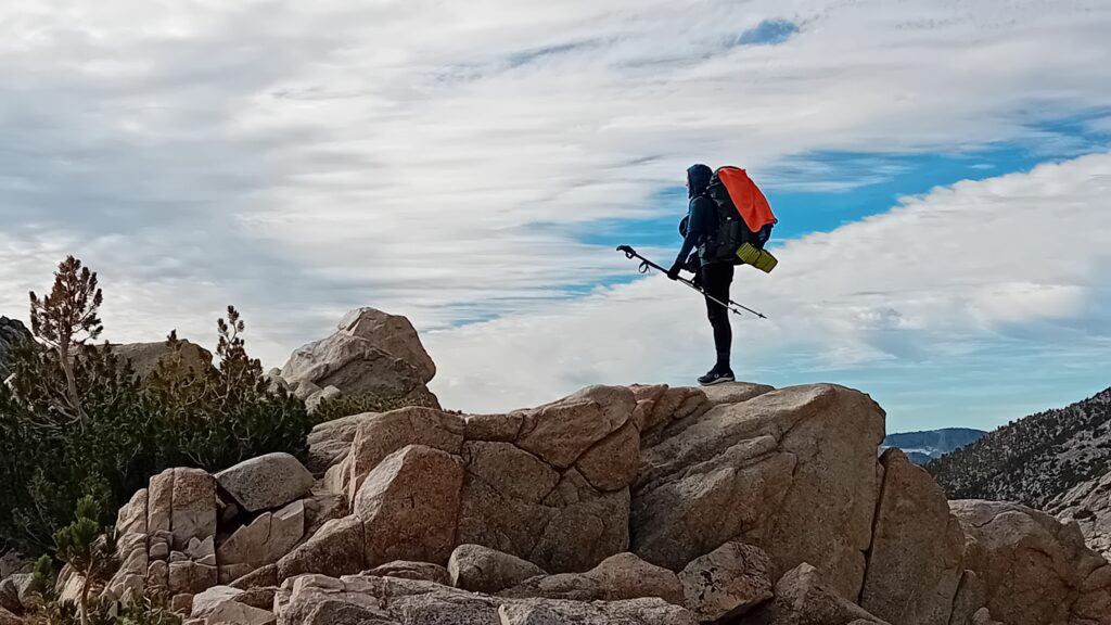
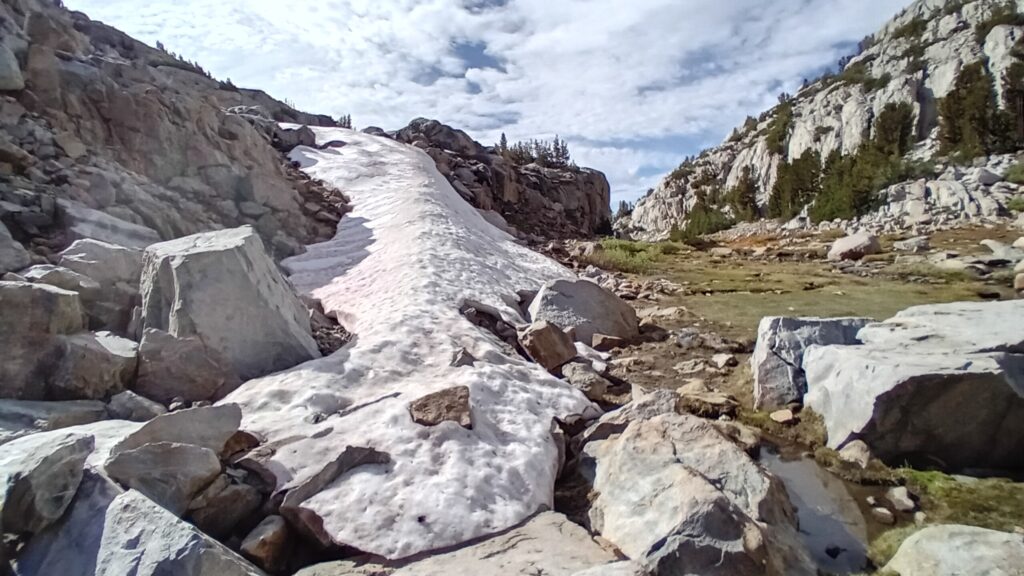
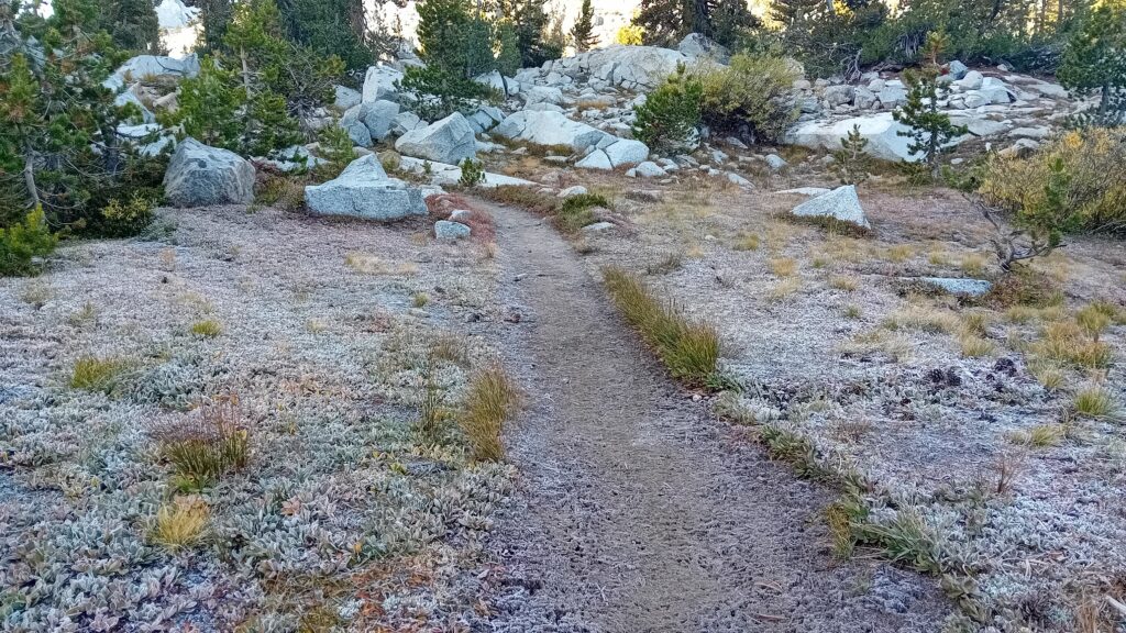
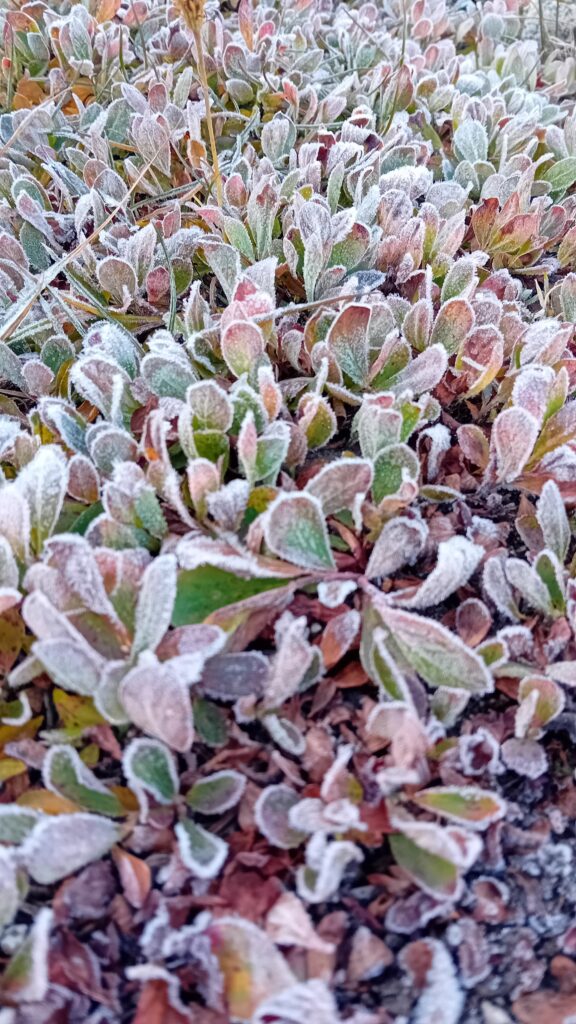
In the sheltered spots on the way up to Seldom pass the ground was frozen solid and covered in frost.
The mountain ridge line to our right leading up to the pass looked like the back of a dragon jagged and angular.
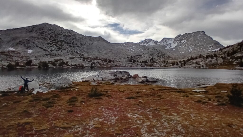
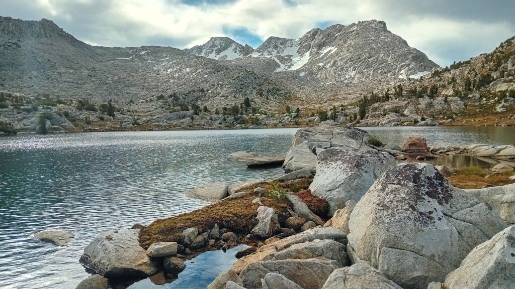
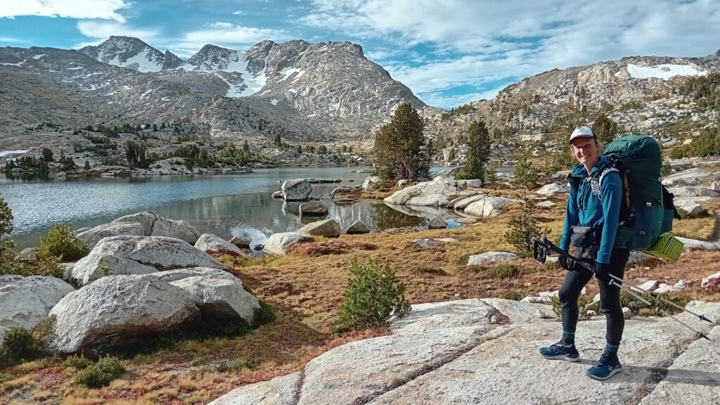
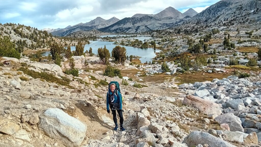
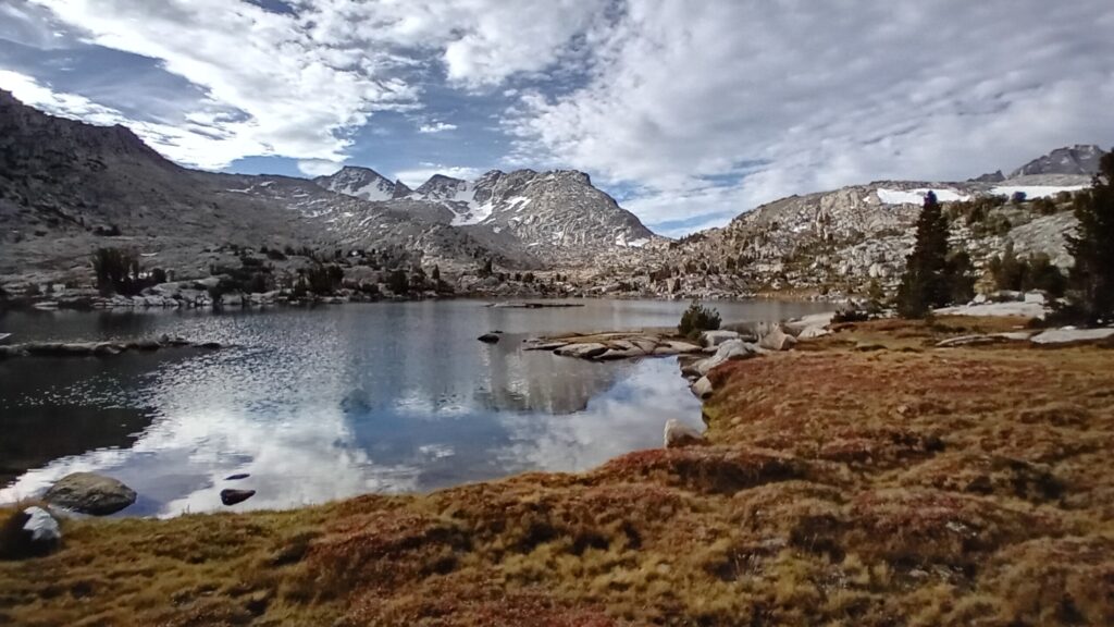
We reached Marie Lake which had a few interesting rocky outcrops and it looked like a good place for a spot of morning fishing.
Within a few casts I hooked a really pretty looking Brook trout.
It was a reasonable size, green, gold and red in colour.
It had an angry aggressive looking mouth that looked similar to a salmon when it starts to go into its spawning cycle.
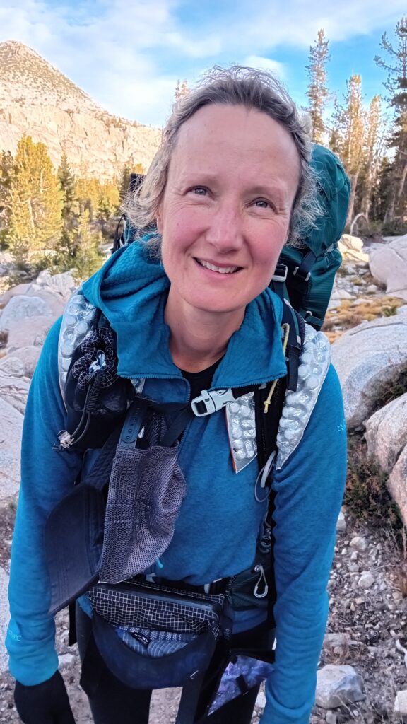
Sarah hopped over the rocks to meet me and took some good pics.
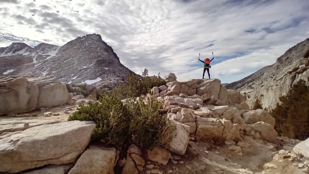
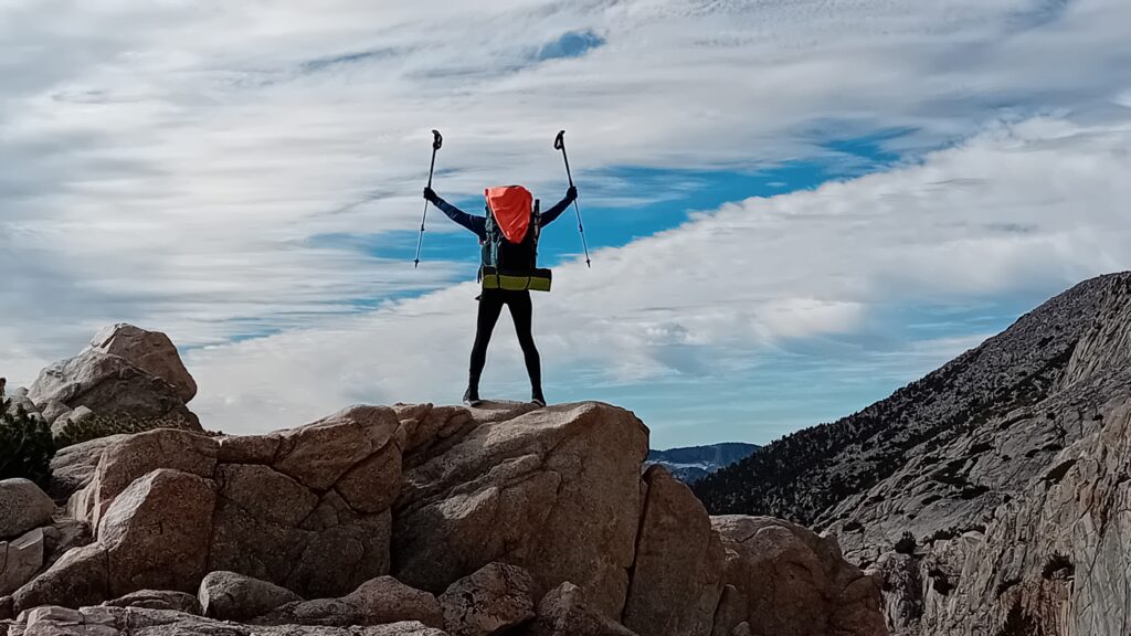
We hike through Selden pass without issue and both agreed that Bear Ridge was a harder climb.
For the next 3-4 days we’re going to have a similar pattern going through these big passes. Eat, sleep, hike up a pass and repeat.
Although all of them have something slightly different to offer so we hope it won’t become too repetitive.
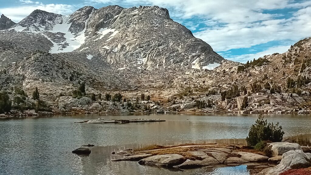
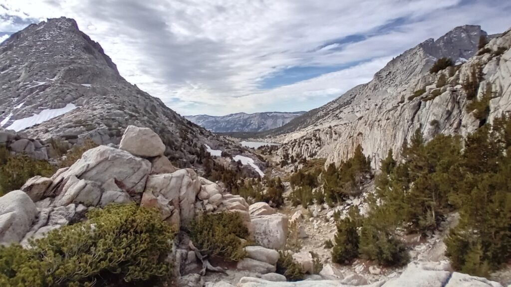
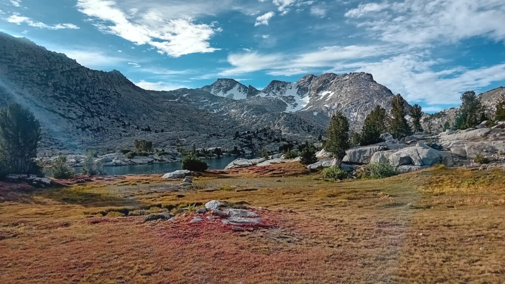
On both sides of Seldom pass we see alpine lakes and water that collects and flows down to form the rivers and creeks below.
I need to brush up on my geography:
I know mountains act as funnels or collectors for rivers and creeks, as well as generating weather systems which generate snow and rain.
The snow sits around until late in the summer so helps top up the lakes below. But what I don’t understand is what happens if there is no snow. Does this mean the creeks and rivers will dry up?
Also, do these alpine lakes really have enough water to sustain the volume of water that flows through these huge rivers?
I guess they are also fed from other forms of precipitation over the mountain range as well as natural springs. So many questions….. I need to speak to a ranger + find this kind of stuff fascinating.
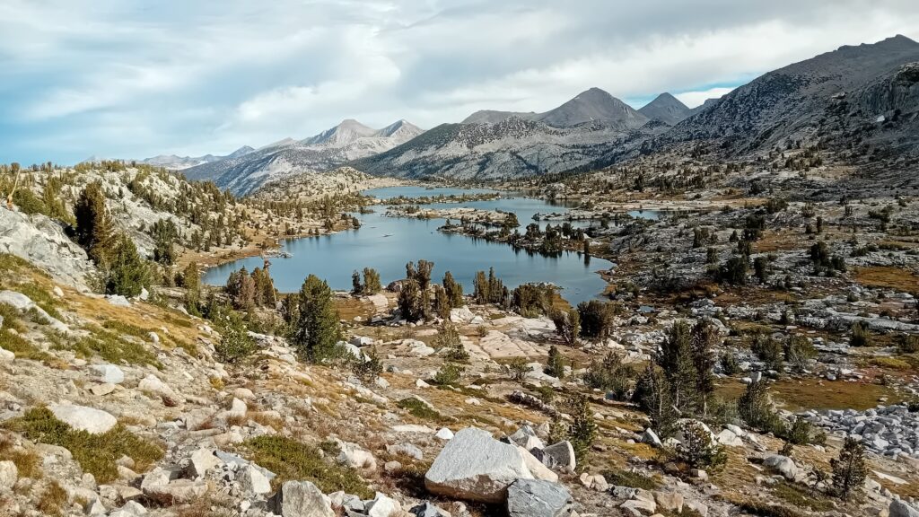
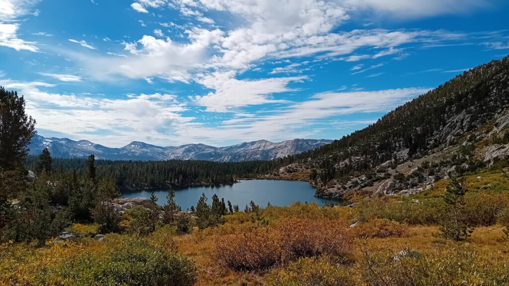
We pass a multitude of lakes on the way down, the sky is blue with beautiful cloud formations that add something to the whole vista.
It’s my birthday in 2 days and we talk about possible plans. Maybe a zero day on trail, or can we make it to Bishop for a slap up meal?
When we get to town we need to start doing some maths to work out a plan for exactly how much wiggle room we have.
Even after the Sierra we still have 700 miles of the desert which is easily a month hiking at 25 miles / day.
We also still want to go back and do the 200 wildfire miles that we were forced to skip. So lots to consider and no rest for the wicked.
Most people say the desert is pretty flat in comparison to what we’ve been through, but we’ve heard that before with Oregon and the mountains are never flat. There will just be less elevation to deal with.
For some reason today I’m lacking in energy and I wonder if it’s because we skimped on our evening meal last night?
Sarah and I look back on different chapters of our hike and how our requirements have changed. In Belden when it was scorching hot we craved sugary soda + remember drinking 9 cans between us in a space of an hour.
The Sierras are certainly more intensive on your body, but strangely we are not craving soda as much anymore? I think mainly due to the change in temperature. We are however ravenous and hungry all of the time.
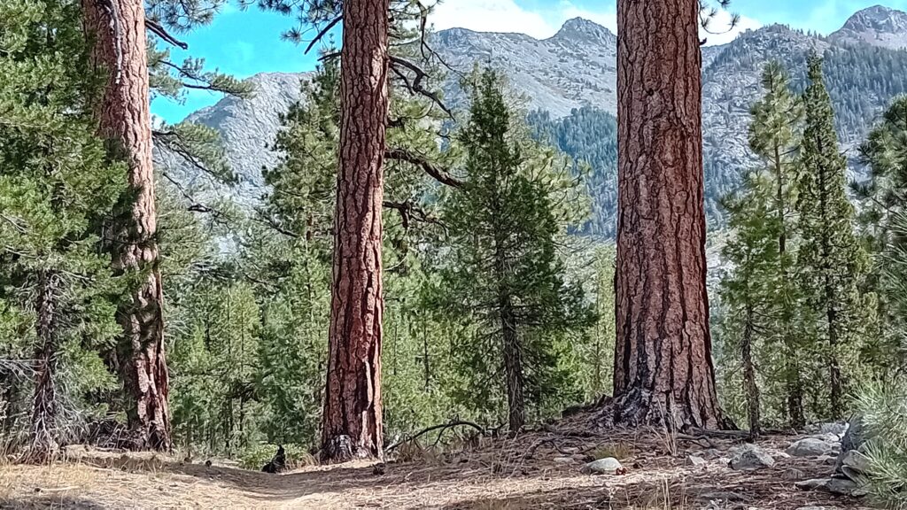
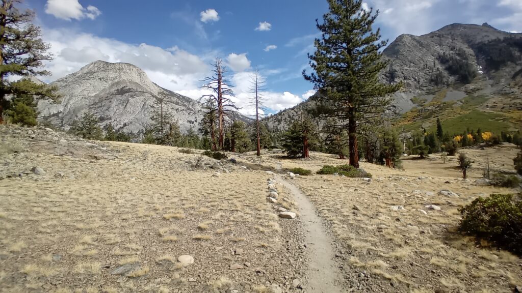
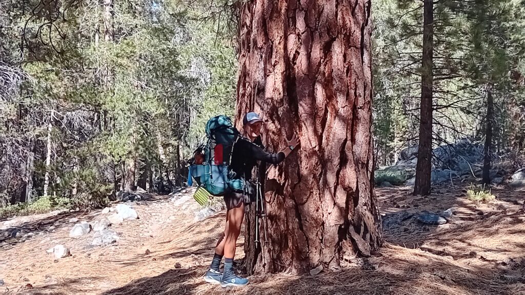
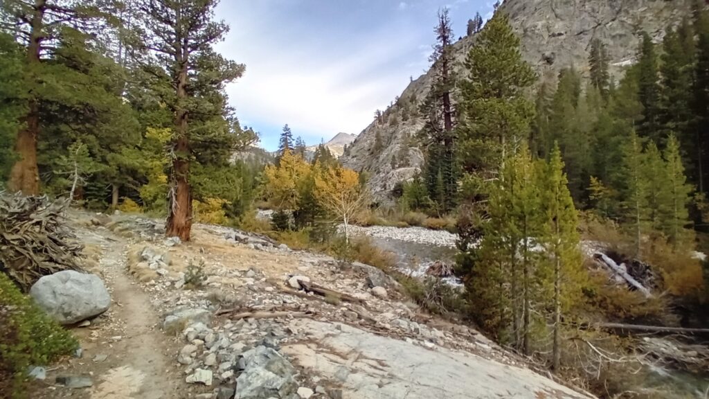
Towards the bottom we walk past huge pine and cedar trees. To our right is a mountain range and we can see water running down its side reflecting in the sun.
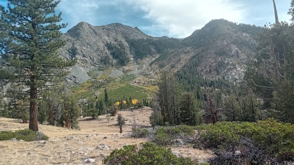
Straight out in front we’re looking at Muir pass. The next big pass on our hit list.
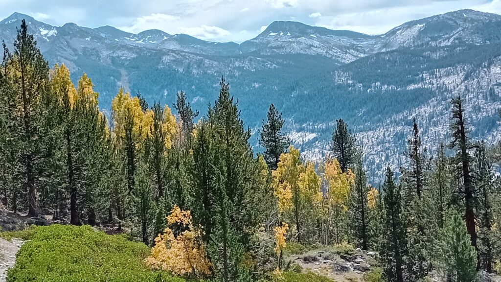
Bright yellow Aspen trees contrasting against the green pine and distant pass.
Over the last couple of days we’ve noticed in the lower elevations small lizards and Sarah spotted a Garter snake struggling to make its way up the side of the bank away from the trail.
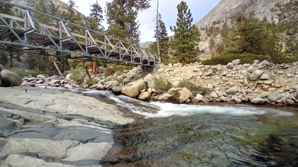
We stopped at Piute Creek Bridge and did a food inventory of all the supplies we have left. Although we had plenty of meals we are starting to run low on snacks. Making it all the way through the Sierras to South Kennedy Meadows would be a stretch and would require some hardship.
I suggested we don’t go too crazy for now and then we do another check again when we get towards Bishop.
We use the opportunity to dry our tent, hanging it in a tree and spread out our sleeping bags on rocks to properly air and dry as last night we suffered from more condensation.
There was a deep pool to the right of the bridge. Water was thundering through. I took the opportunity of doing a bit of fly fishing and was rewarded with a beautiful little rainbow trail.
Today’s turning out to be quite the day for trout fishing and it’s all good fun and breaks up the day nicely giving me something else to think about. It also helps connect us to the wildlife out here and if worse came to worse I think we could make do with fish suppers if our supplies run too low.
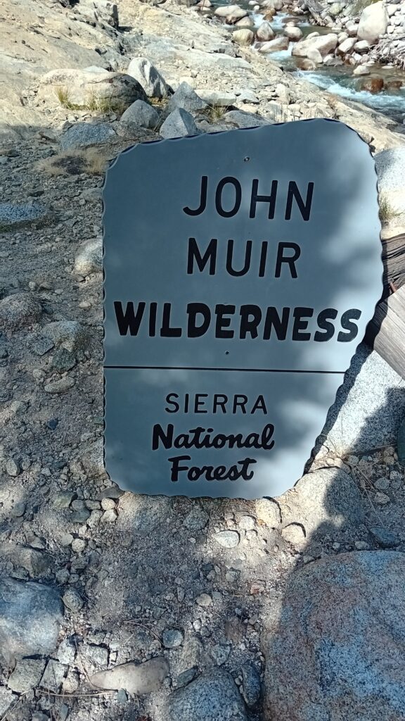
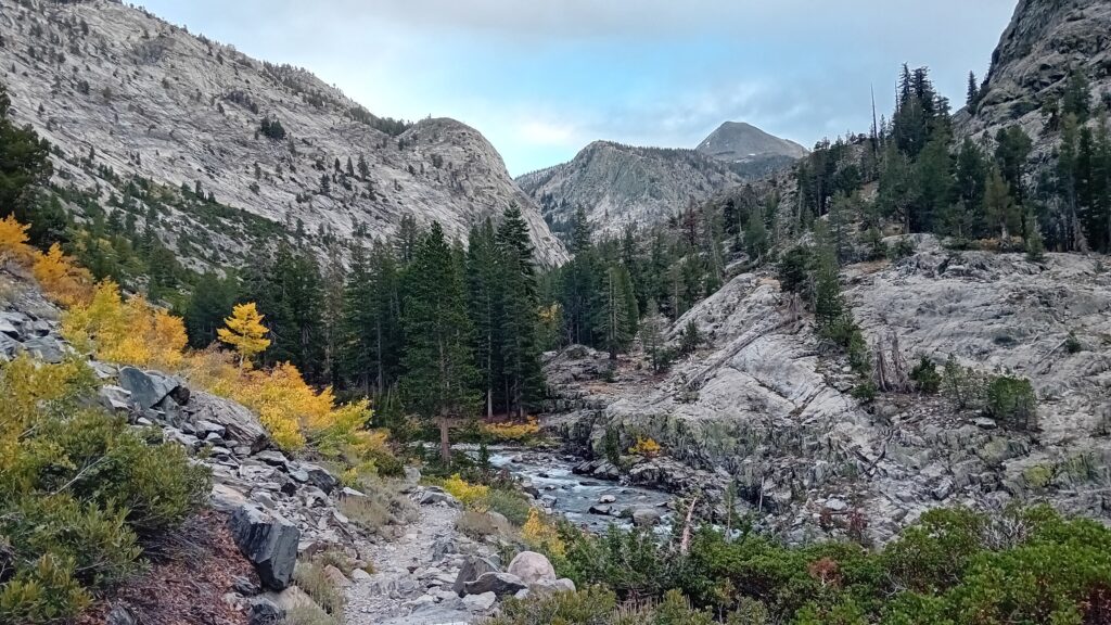
As we enter the John Muir wilderness we walk through the base of King’s Canyon.
On our right is a fast flowing river cascading through the canyon. Either side of us are vertical shear slopes, so tall you have to crane your neck back to take them all in.
Golden Aspen leaves waive at us in the wind like the wings of butterflies.
This truly is a beautiful stretch of the trail and we are loving hitting it at this time of year when the seasons are changing and the leaves start to turn.
It’s a wonder for the eyes and senses to behold.
Sarah joked:
“Do you feel like a king in Kings Canyon”
I didn’t need to say a word.
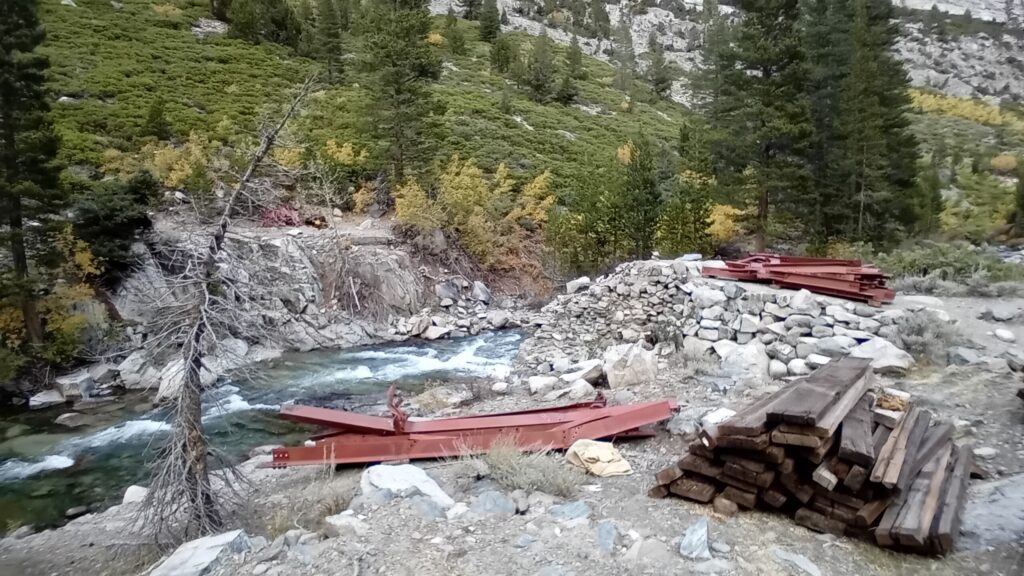
Next up we had a river crossing. It was marked in Far Out with a hazard sign where the bridge had fallen in.
Other hikers had marked other possible crossing’s spots with kerns (stacks of rocks) so we had a few options.
We switched out of our trail runners and put on our sandals to save them getting wet.
If the river crossings were more frequent we would have just gone through it in our trail runners however as there are only a couple today it pays to keep your powder dry.
The crossing over the South Fork San Joaquin River wasn’t easy and the water went up around my knees and Sarah’s thighs in places.
The bottom of the river bed was also slippery with large boulders + you had to be careful where you placed your feet.
Luckily we made it through without incident although we had wrapped up all our electronic gear and sleeping gear just in case of a slip.
On the other side there was a marked campsite which had more horse poop than you can shake a stick at.
I think it must have been used as a horse camp.
We switched back to our trail runners and continued off into the evening.
Sarah stopped me in my tracks and pointed at a Mule deer that was coming straight for us. It must have been only 6 feet away and completely oblivious with no fear of humans.
With all this talk about autumn and a change of seasons it’s making us think of home.
Those familiar smells of either fruit or leaves turning, dark nights, those hearty meals, cozy evenings in and the frosty mornings.
The change of season should be applauded and these shoulder seasons are always one of our favourite times of the year.
We climbed further into King’s Canyon.
On the final ascent for the day along countless switchbacks, the clouds rolling over the mountain tops turn pink from the sunset creating a very dramatic skyline. Almost like the sky is on fire behind the silhouette of the mountains.
We stop before Evolution waterfall and look back across the valleys we’ve hiked through. The mountains are in layers, almost like the teeth of a zipper closing over one after another all the way to the horizon.
Unfortunately it was too dark to fully appreciate Evolution waterfall and we pushed on as we had yet one more river crossing tonight.
We arrived at the crossing and my spidy sense and sensible head kicked in.
Crossing in the dark with the risk of falling in and getting all our stuff wet at this time of day would not be a good idea. Therefore we opted to pull in short, but that’s okay. 17.3 miles on top of the fishing sessions and food itinerary check isn’t bad.
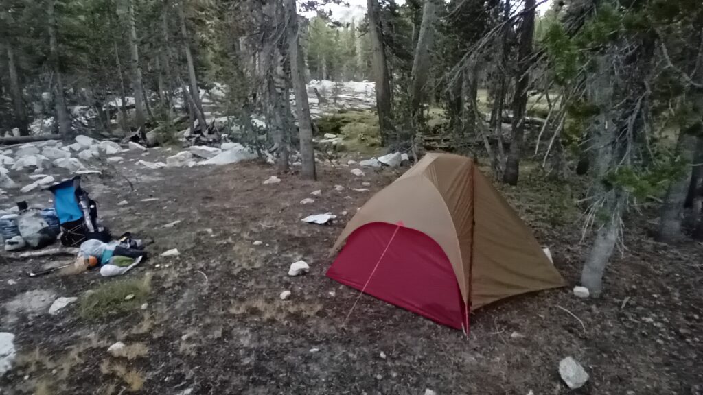
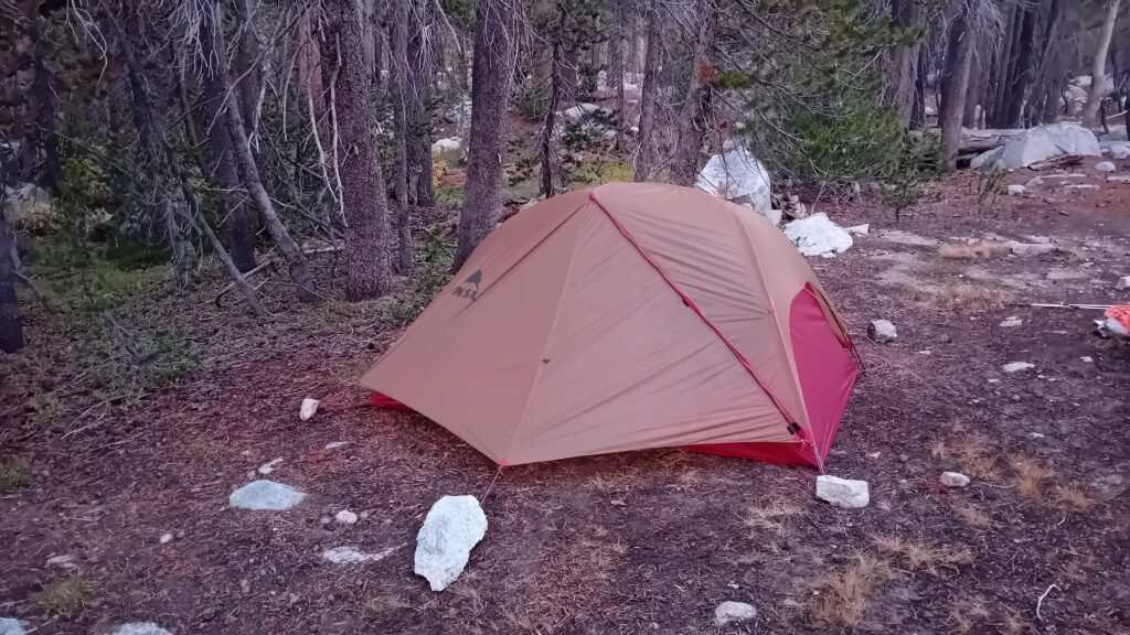
Luckily there are a number of flat camp spots on this side of the river so we made ourselves at home.
It also doesn’t seem as cold tonight, we’re using our bear canisters as seats.
Sarah made a makeshift fireplace for our stove so it isn’t interrupted by the wind and on tonight’s menu we have a Peak meal Homestyle chicken and rice. Life’s good…







Leave a Reply
You must be logged in to post a comment.