
Day 116 Wed Oct 18th
Crabtree Meadow Tent site – Campsite at Guitar lake
1887.1 -1887.1 (off trail)
Approx. 4050 ft ascent 3196 ft descent
12.2 Miles
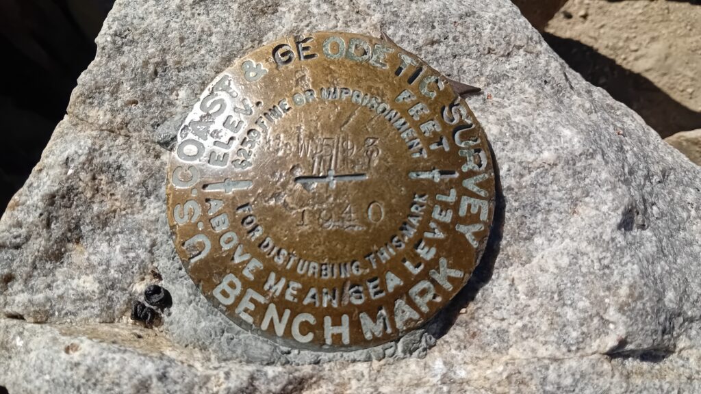
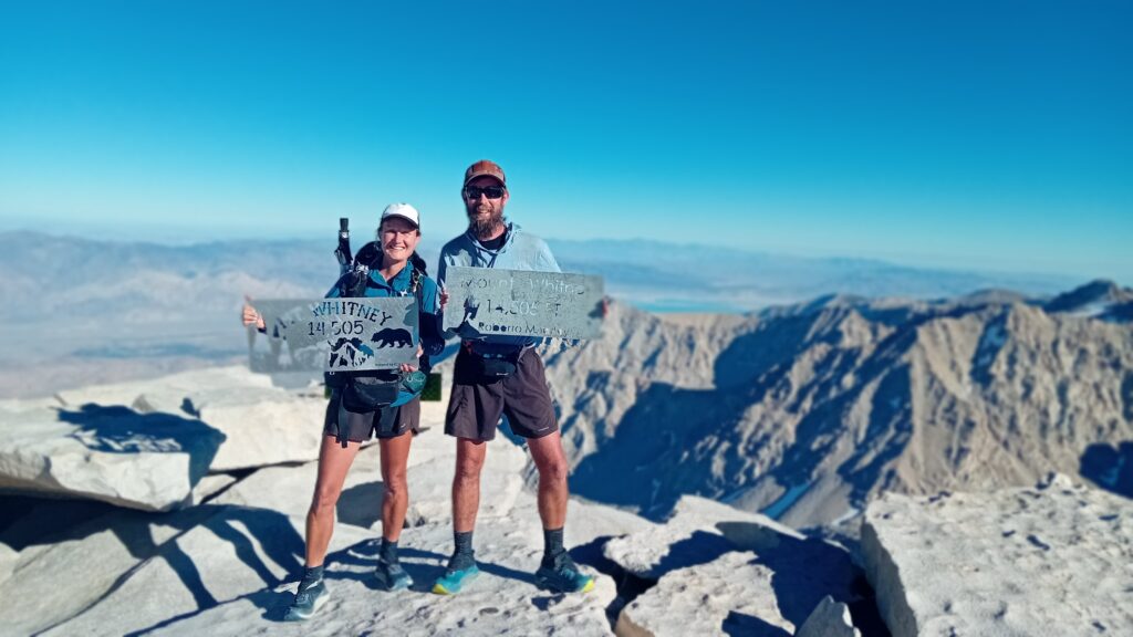
So today is the climb of the epic Mount Whitney. This is the highest point in the lower 49 states of the United States.
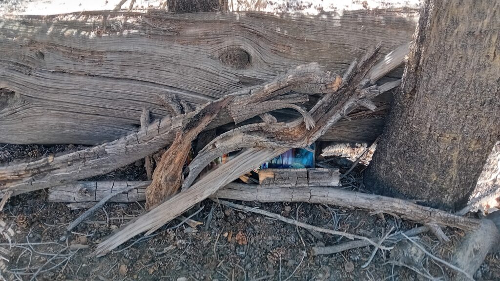
We set off at normal time and decided to stash our heavy bear canisters in the shade behind a fallen tree.
We figured 1 day’s worth of food and an evening meal should be plenty to keep it going, opposed to carrying the remaining contents.
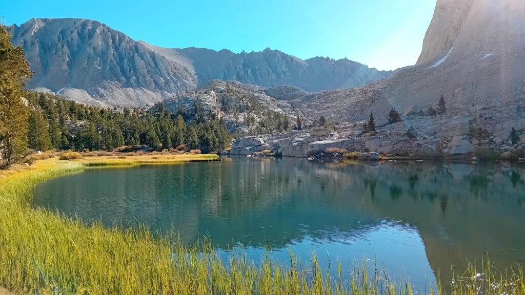
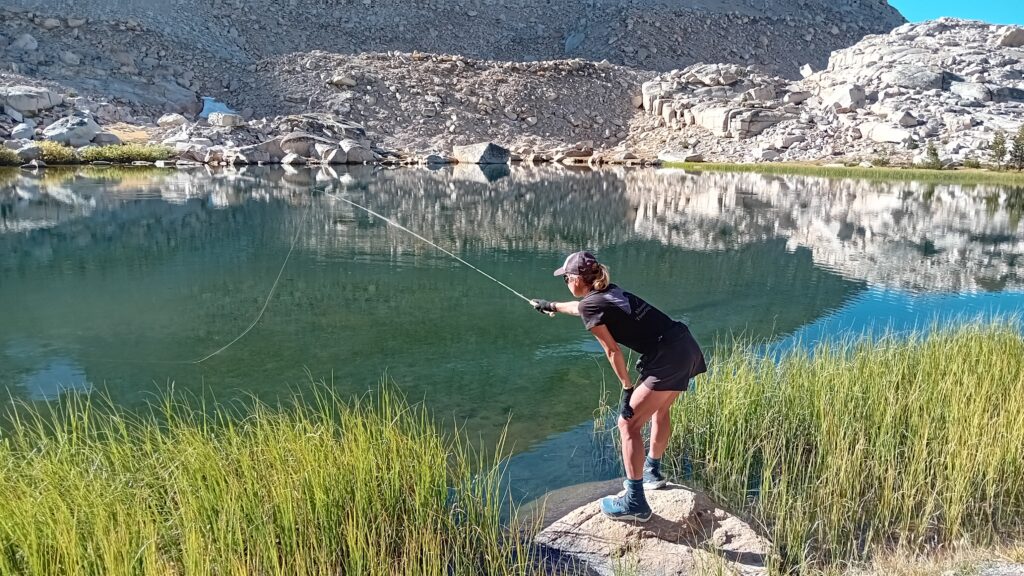
We stopped at Timberline Lake outlet and Sarah and I had a fishing competition to see who could catch the most Golden trout.
The score was 2:2, but on Sarah’s 2nd fish the trout took the fly quite deep into its mouth.
Unfortunately it wasn’t easy to unhook and although I tried my best and we returned it to its watery home, we watched the fish languishing in the shallows.
Sarah was most upset, although she seemed to really enjoy the competition up until then.
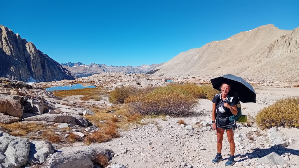
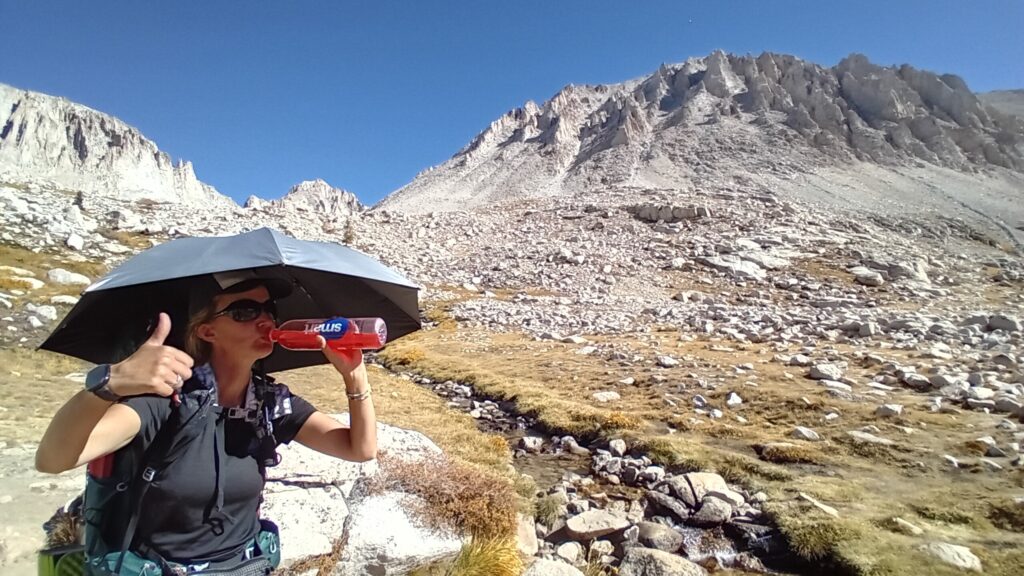
We’re starting to see why people choose to hike up Whitney at night. It’s absolutely roasting + thank goodness for our sun umbrellas.
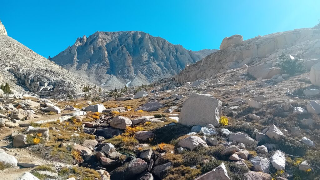
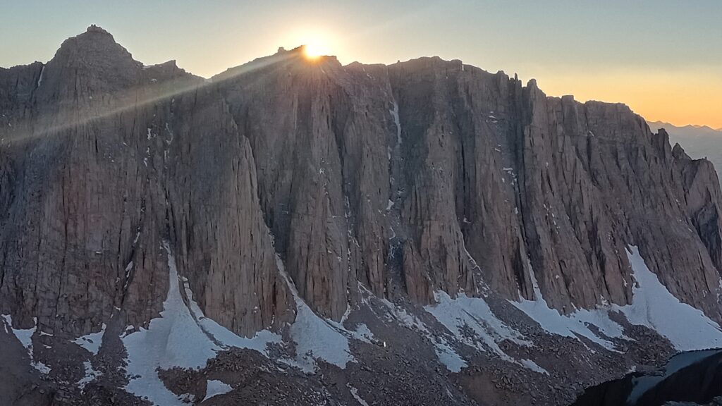
The rocky craggy fingers that grow out of one side of Mount Whitney visible from the trail look just like the peaks of a lemon meringue pie.
We met a couple of other hikers coming down from Guitar lake. They had summited Whitney yesterday and spent the evening camped out at the lake.
One of them claimed he drank 4 litres of water on his climb. This sounds excessive + we settle for 3 litres between us after filing up on a litre of Gatorade each before starting out.
As we sit hydrating on a rock at Whitney Creek we watch a Stonefly scurrying around in the sand. Flicking up grains of sand one by one in a flurry of activity as it digs.
In the rocks in front of us a Marmot peeks over the rocks, interested in our every move. Squeaking an alarm before scurrying for cover.
With a liberal application of sun cream and our old faithful sun umbrella we’re ready to roll.
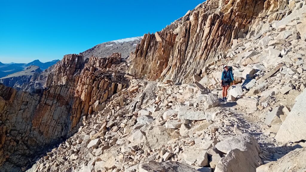
It looks like we’ve got to walk around a large rocky outcrop which will lead us up onto the ridge line all the way to the summit. All of this within 5 miles…
The climb up is as hard as expected, my breathing is laboured and my throat is dry.
Sarah is some way back struggling with her heart rate hitting over 130 again so she’s taking it slower.
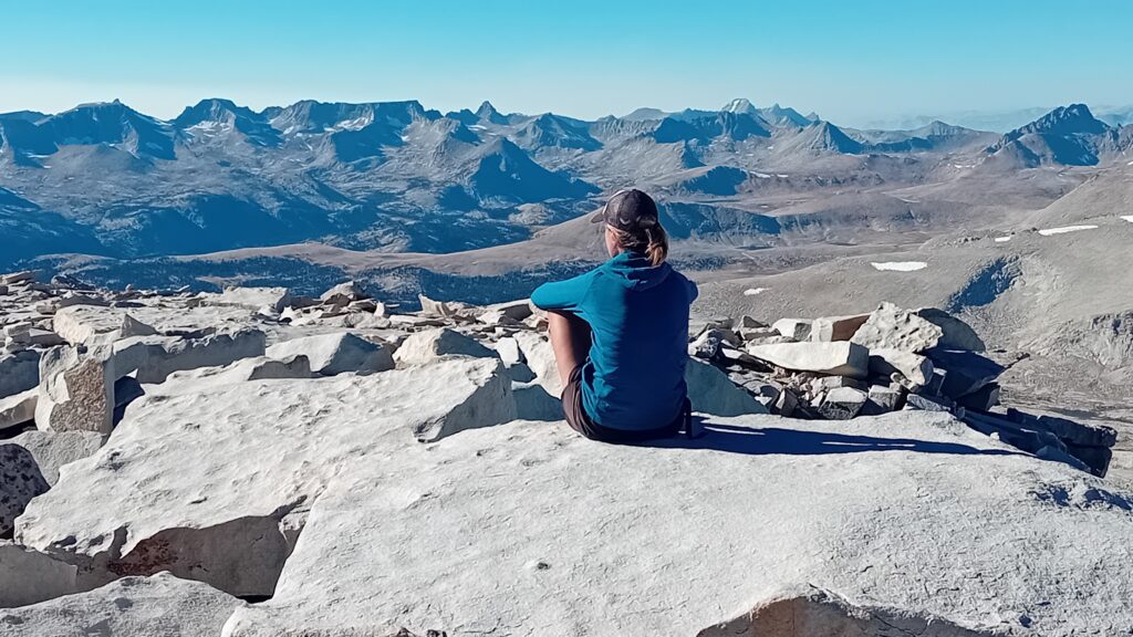
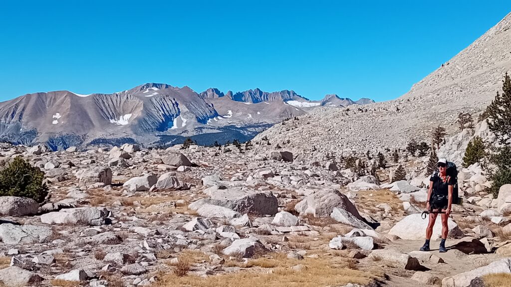
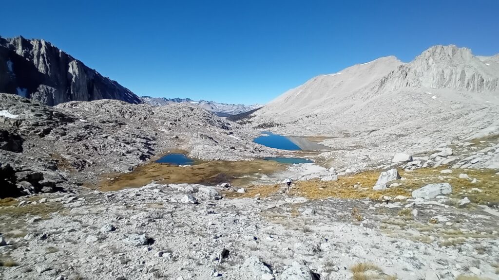
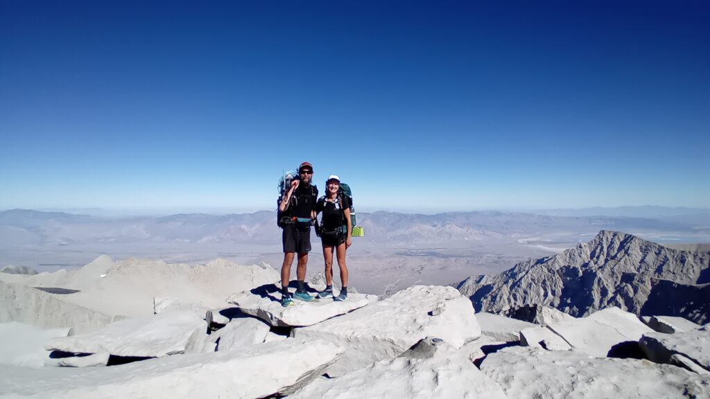
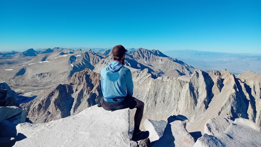
The views back across the valley from up here are spectacular.
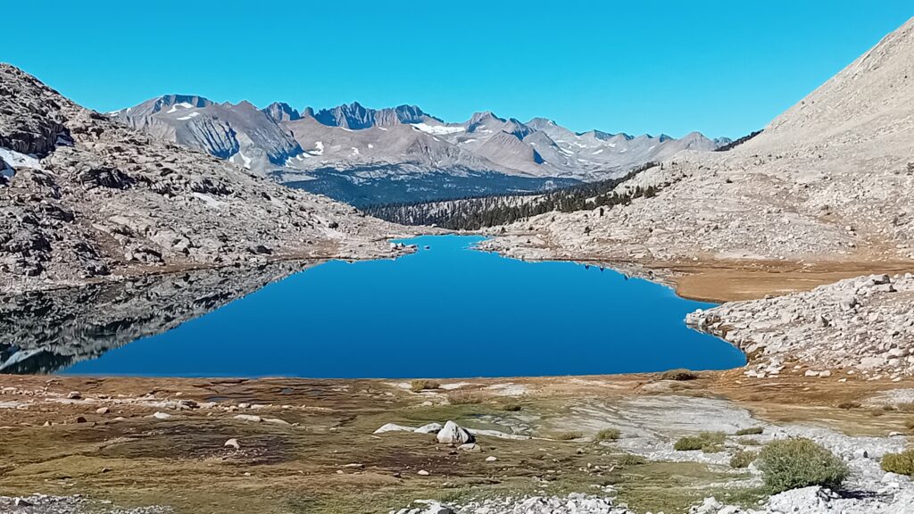
It’s predominantly rock with snow patches and a few emerald coloured lakes + it’s beautiful to look at.
Mt. Whitney is certainly living up to her name.
Once we had cleared the switch backs we came across a warning sign..
Stating how dangerous this place could be in bad weather and how if there is anyy indication of the weather changing then you will need to get
off the mountain quick sharp as people have been known to get caught out and die up here.
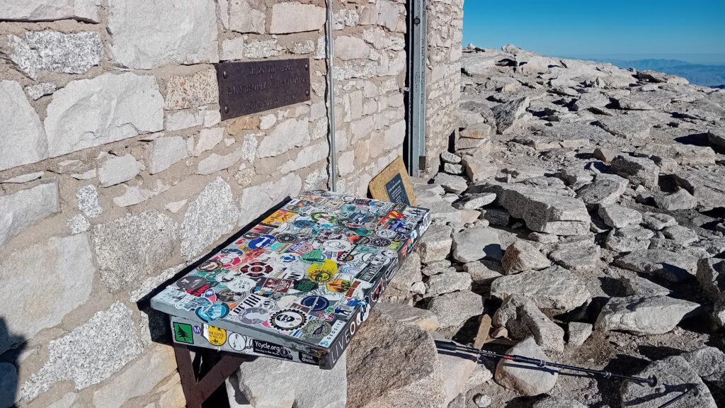
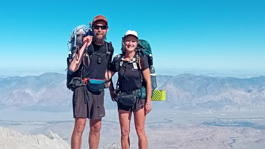
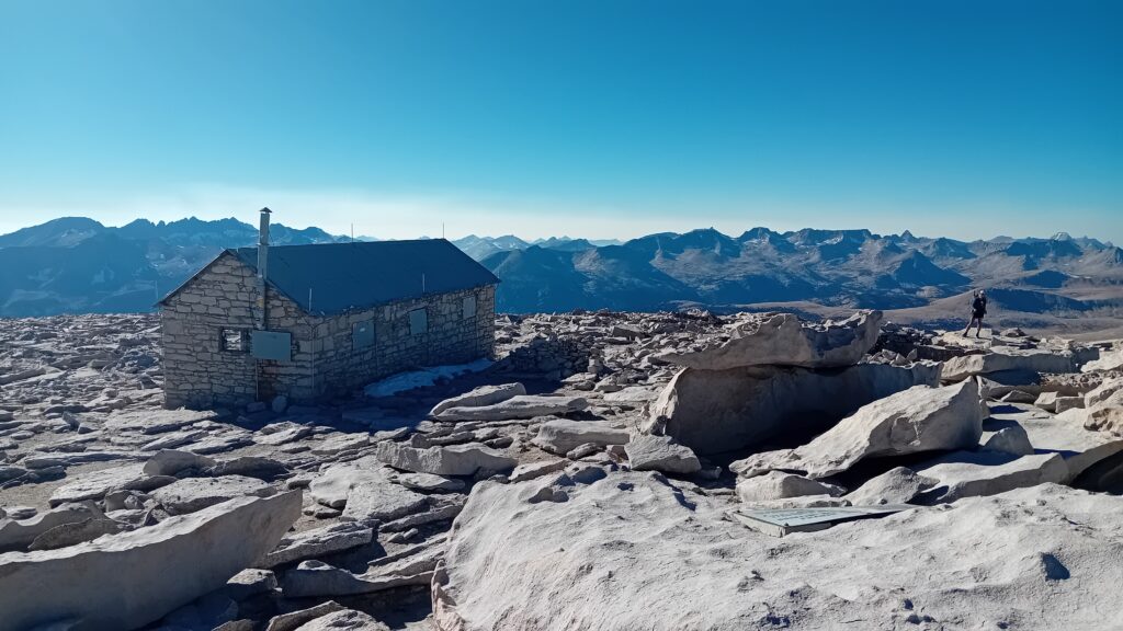
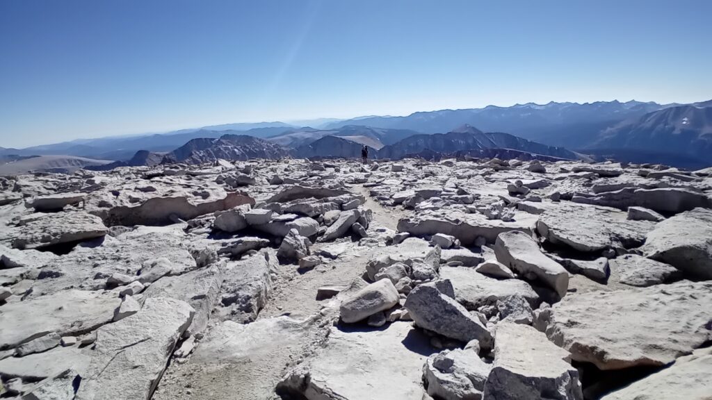
As we walked up towards the summit we could see a stone shelter that we had seen before on YouTube. It felt great to be nearly there after all this time.
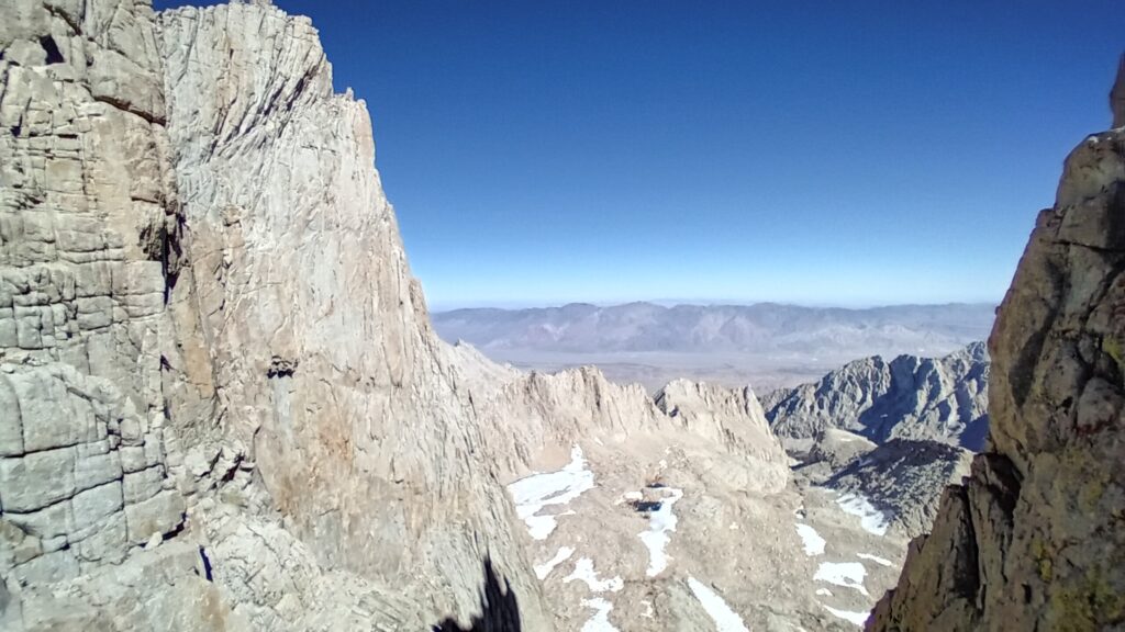
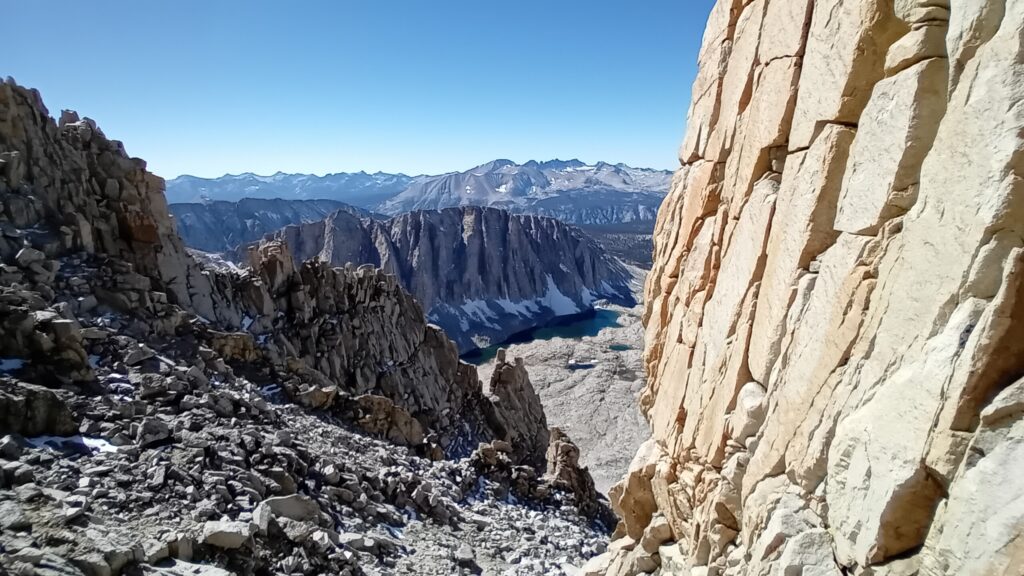
The ridge line that we walked along was similar to a coastal cliff face made up of huge fins or fingers of rock.
Through which you could get interrupted views of the valley below, looking away from Crabtree Meadows towards Lone Pine.
From the meadows when we first saw Mount Whitney we weren’t overly impressed. But looking the other way you can see what all the fuss is about as this is quite the mountain.
Effects of altitude really start to take place on the last stretch making the hike up here even more laboured and slow.
There was a minor detour around some suspicious looking snow before we reached the top.
It looked a little too soft to walk on so we followed a series of kerns as we made it to the top.
Sarah used this as an opportunity to do a recording for her fundraising campaign. Whilst I rustle up some high altitude Ramen noodles.
It wasn’t long before our peace and quiet was interrupted by a load of day hikers.
It was a popular mountain after all. Although it did mean Sarah had to find a quiet corner of the summit as other day trippers made nosey phone calls informing people they had made it to the top.
It took longer than expected to get up here and it’s now 4pm. The sun’s still high but we need to get down before the sun goes down.
Hopefully our bear canisters will still be intact.
On our way back down we were reminded just how much we’ve been able to see from his increased elevation.
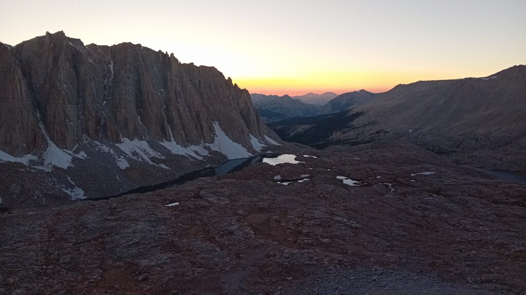
Not only can we see the adjacent wall of mountains but also the ones in the distance all the way to the horizon as the sun starts to set.
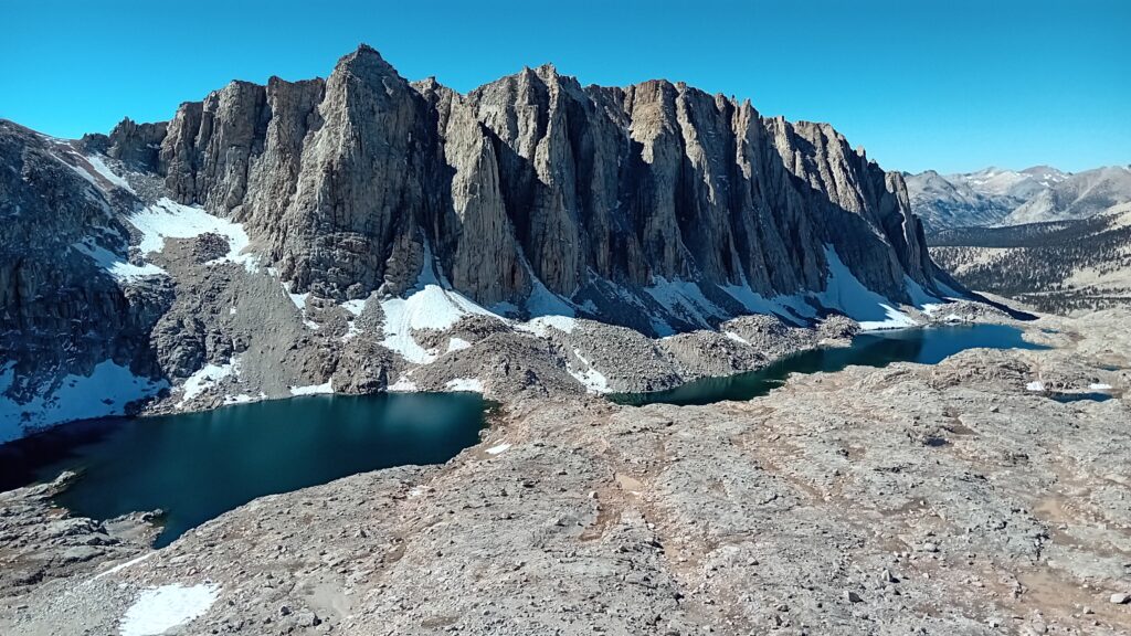
We can also see why Guitar Lake got its name as it is shaped just like a guitar.
There were a couple of sweet looking camp spots close to the lake that we might check out.
As we descended we came to a camp spot that was on a ledge with just about enough space for 1 tent. We stopped and seriously contemplated staying here.
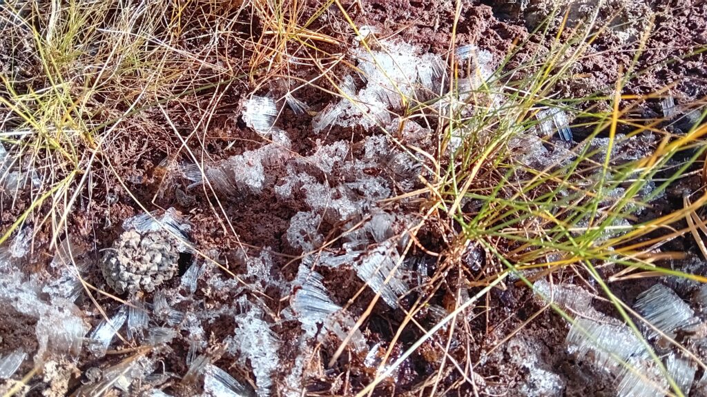
It was such an epic spot and would be an awesome place to watch the sunset. Although despite the sun shining we knew at 13000 ft elevation that as soon as the sun dropped from the sky the temperature would plummet + you would be very exposed to any changes in weather.
In the end we opted to play it safe and pushed on.
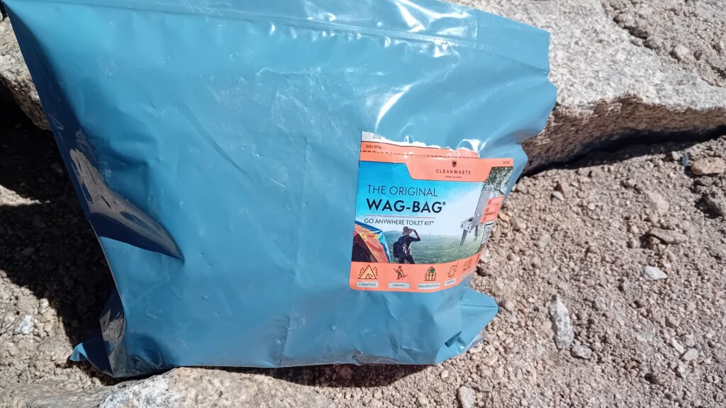
The other factor about camping up on Mount Whitney is you need to use something called a Wag bag when it comes to pooping. This is because there’s no natural soils on the mountain that would help break down this matter.
Although we leave no trace and carry our used TP out in bags, the concept of carrying a turd off the mountain was not appealing to either of us. This also helped us make this decision to find a better camp spot which was lower down and off the mountain..
Then a helicopter appeared above the mountains circling around us. We questioned whether someone had gone missing or got stuck or into trouble at the top.
We later found out that someone had fallen off the mountain whilst doing the high route. And the helicopter was being used to help locate the body.
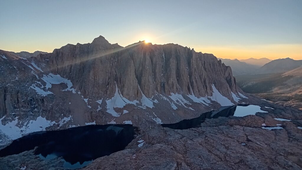
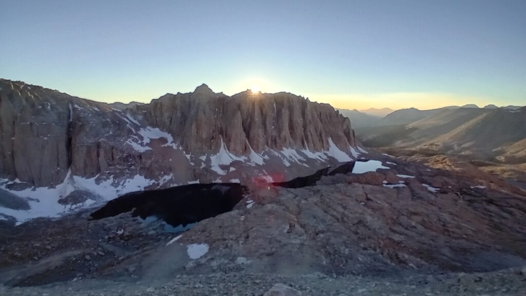
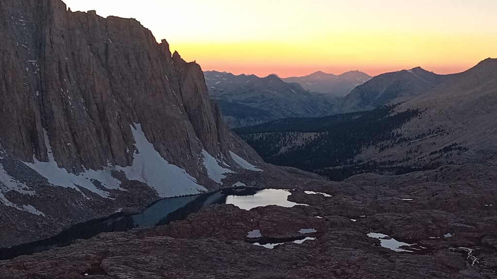
Just as I take a couple of pictures the sun drops behind the mountains. The warmth disappears and we are left to hike down the cold and bleak looking mountains + the temperature really starts to drop.
We are both glad we bailed on the ledge spot despite it looking so inviting when the sun was still shining
The two large lakes in front of us to the side of Guitar Lake now have changed from aqua marine blue to dark inky black.
Most hikers decide to slack pack up Whitney and not to carry any of their gear up to the top. However we opted to take all of our gear (excluding bear cans) because we felt this would give us some more flexibility on where we could camp. Also although unlikely we also didn’t like the idea of things getting stolen.
The plan worked well and on our way down we found the camp spot that overlooked Guitar Lake. Somebody had previously built a stone wall to provide some wind protection and the spot looked perfect.
The only issue was that because we had left bear canisters back near the Rangers station, we had to be “creative” about how we safely stashed our food, as there were no trees surrounding the lake.
Personally I felt that this was no place for a bear, but luckily a large 10ft boulder next to the camp spot offered the perfect solution.
So I clambered up on the stone wall and stashed the food bags on top of the boulder. Jobs a fish.
We did notice that we might be sharing the camp spot with a family of Marmots, judging by the amount of droppings scattered around the rocks.
Let’s hope these little blighters don’t have good climbing skills.
At this high elevation (11,500 ft) we seem to be seeing even more stars tonight, as we boil water and do our camp chores.
It’s a magical finish to a magical day. Mt. Whitney romeo done.












Leave a Reply
You must be logged in to post a comment.